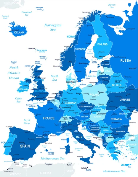
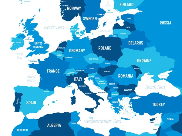
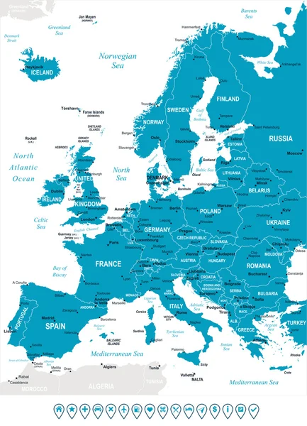
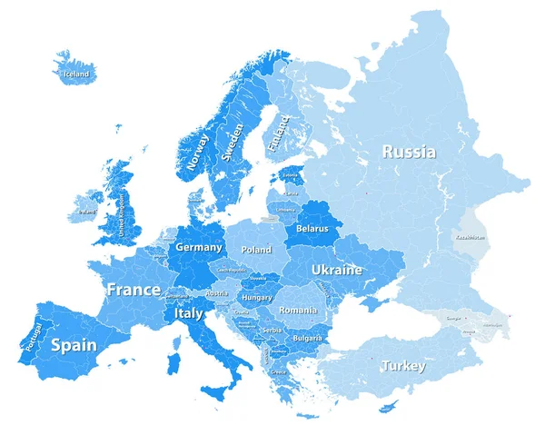
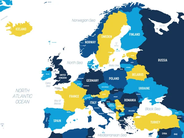
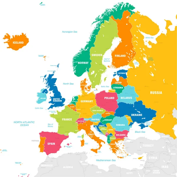
Stock vector Europe - map and navigation icons - illustration.
Published: Aug.05, 2015 11:26:38
Author: dikobrazik
Views: 293
Downloads: 15
File type: vector / eps
File size: 4.67 MB
Orginal size: 5400 x 7405 px
Available sizes:
Level: silver