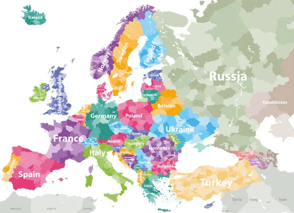
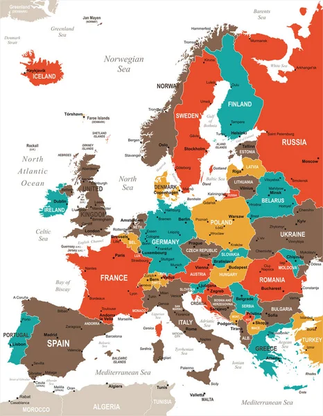
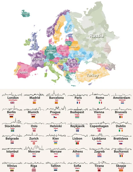
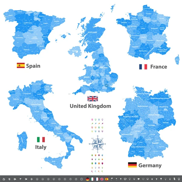
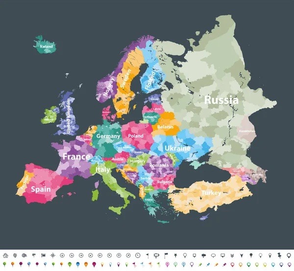
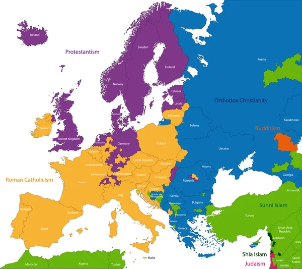
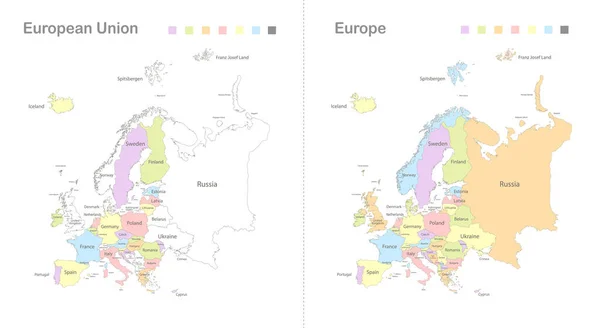
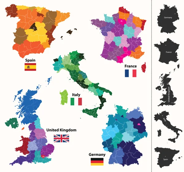
Stock vector European regions map
Published: Mar.10, 2015 07:16:06
Author: Jktu_21
Views: 533
Downloads: 13
File type: vector / eps
File size: 13.47 MB
Orginal size: 4167 x 3909 px
Available sizes:
Level: silver