Home
Images
Vectors
Videos
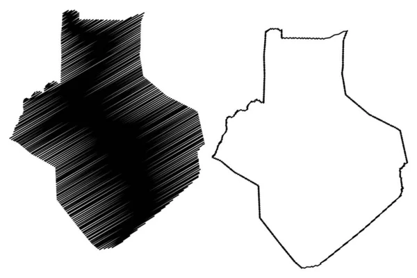
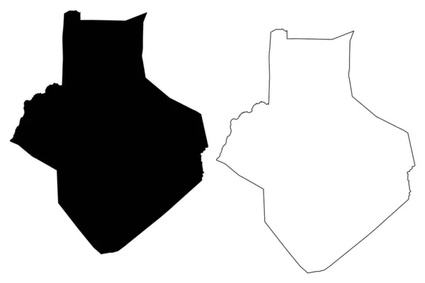
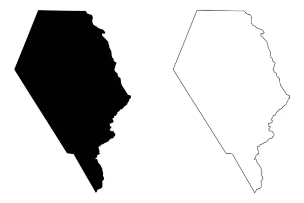
Stock vector Faasaleleaga District, Savaii island (Independent State of Samoa, Western Samoa) map vector illustration, scribble sketch Faasaleleaga map,
Published:
Oct.30, 2020 15:01:18
Author:
Danler
Views:
0
Downloads:
0
File type:
vector
/
eps
File size:
0.61 MB
Orginal size:
7087
x
4726
px
Available sizes:
S
(500 x 333)
M
(1000 x 667)
L
(2000 x 1334)
XL
(7087 x 4726)
VECT
(7087 x 4726)
EL0
(7087 x 4726)
Level:
bronze
Download Vector
Vector topics:
Vector
Background
Illustration
Design
Isolated
Sign
Travel
Abstract
Texture
Black
Line
Silhouette
Border
Icon
City
Flat
Contour
Drawing
World
Scratch
Town
Outline
Country
Map
Cartography
Geography
Area
National
Continent
State
Topography
Island
Administrative
Republic
Region
Division
Insignia
Oceania
Territory
Patriotic
Province
Metropolitan
Polynesia
County
Districts
Oblast
Samoa
Archipelago
Safotulafai
Faasaleleaga
Similar stock vectors
Taos County, New Mexico (U.S. County, United States Of America, USA, U.S., US) Map Vector Illustration, Scribble Sketch Taos Map
7087 × 4726
Adams County, Idaho (U.S. County, United States Of America, USA, U.S., US) Map Vector Illustration, Scribble Sketch Adams Map
7087 × 4726
Frederick County, Maryland (U.S. County, United States Of America, USA, U.S., US) Map Vector Illustration, Scribble Sketch Frederick Map
7087 × 4726
Effingham County, Georgia (U.S. County, United States Of America,USA, U.S., US) Map Vector Illustration, Scribble Sketch Effingham Map
7087 × 4726
Maine Map Vector Illustration, Scribble Sketch Maine Map
7087 × 4724
Casey County, Kentucky (U.S. County, United States Of America, USA, U.S., US) Map Vector Illustration, Scribble Sketch Casey Map
7087 × 4726
Humboldt County, California Map Vector
7087 × 4726
Casey County, Kentucky (U.S. County, United States Of America, USA, U.S., US) Map Vector Illustration, Scribble Sketch Casey Map
7087 × 4726