Home
Images
Vectors
Videos
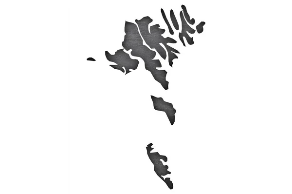
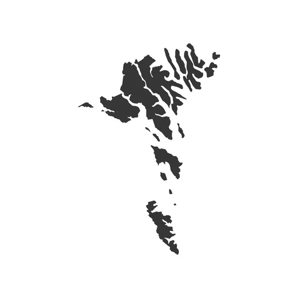
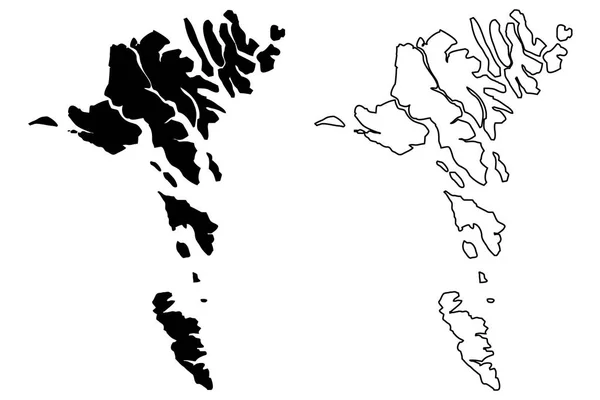
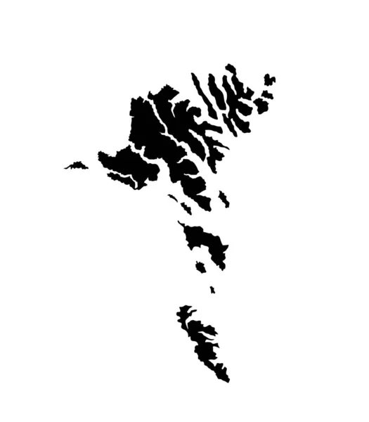
Stock vector Faroe Islands vector map silhouette isolated on white background. High detailed silhouette illustration. Denmark territory. Europe state.
Published:
May.29, 2019 10:14:25
Author:
Dovla982
Views:
3
Downloads:
0
File type:
vector
/
eps
File size:
0.36 MB
Orginal size:
5250
x
6000
px
Available sizes:
S
(438 x 500)
M
(875 x 1000)
L
(1750 x 2000)
XL
(5250 x 6000)
VECT
(5250 x 6000)
EL0
(5250 x 6000)
Level:
bronze
Download Vector
Vector topics:
White
Vector
Illustration
Isolated
Travel
Black
Silhouette
Border
Symbol
Icon
City
Mark
Flat
Contour
Pin
World
Detailed
North
Europe
Navigation
Point
Pointer
Outline
Country
District
Direction
Map
Cartography
Geography
Area
Continent
Metropolis
Location
Place
Government
Political
Administrative
Atlantic
Destination
Denmark
Islands
Region
Marker
Gps
Province
Nation
Eps
Faroe
Similar stock vectors
Map Of Canada With Flag On Solid Background
4288 × 2848
Faroe Islands Map Outline
5000 × 5000
Faroe Islands Map Vector
8858 × 5906
Falkland Islands Silhouette Map
5492 × 4929
Lewis And Harris Island Map Silhouette In Scotland
5000 × 3000
Svalbard Islands - Solid Black Silhouette Map Of Country Area. Simple Flat Vector Illustration
6000 × 6000
Black Flat Blank Vector Map Of The Norwegian Regional Capital City Of STAVANGER, NORWAY
4129 × 6000
More Og Romsdal County Map, Administrative Region Of Norway. Vector Illustration.
8334 × 8334