Home
Images
Vectors
Videos
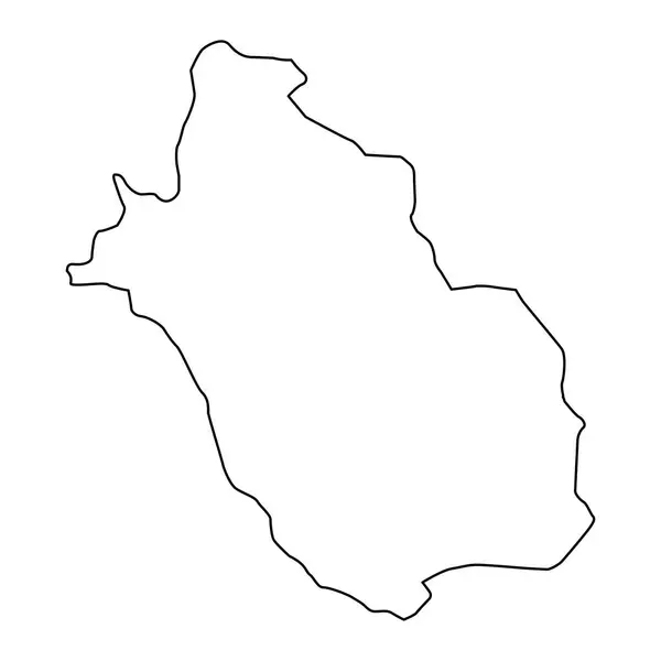
Stock vector Fars province map, administrative division of Iran. Vector illustration.
Published:
Aug.31, 2023 12:54:05
Author:
majborodinruslan1990.icloud.com
Views:
0
Downloads:
0
File type:
vector
/
eps
File size:
5.28 MB
Orginal size:
8334
x
8334
px
Available sizes:
S
(500 x 500)
M
(1000 x 1000)
L
(2000 x 2000)
XL
(8334 x 8334)
VECT
(8334 x 8334)
EL0
(8334 x 8334)
Level:
beginner
Download Vector
Vector topics:
Vector
Graphic
Illustration
Design
Isolated
Sign
Texture
Line
Silhouette
Border
Banner
Symbol
Icon
Contour
Simple
Drawing
Template
Detailed
Capital
Outline
Country
District
Map
Cartography
Geography
Area
National
State
Chart
Topography
Boundary
Political
Administrative
Department
Region
Division
Federal
Territory
Atlas
Province
County
Mapping
Iran
Fars
Cut Out
Governorate
Similar stock vectors
Cankiri Province Map, Administrative Divisions Of Turkey. Vector Illustration.
8334 × 8334
Pasco Map, Region In Peru. Vector Illustration.
8334 × 8334
Maradi Region Map, Administrative Division Of The Country Of Niger. Vector Illustration.
8334 × 8334
Aksaray Province Map, Administrative Divisions Of Turkey. Vector Illustration.
8334 × 8334
Isparta Province Map, Administrative Divisions Of Turkey. Vector Illustration.
8334 × 8334
East Renfrewshire Map, Council Area Of Scotland. Vector Illustration.
8334 × 8334
Highly Detailed Liberia Map With Borders Isolated On Background
8334 × 8334
Presidente Hayes Department Map, Department Of Paraguay. Vector Illustration.
8334 × 8334