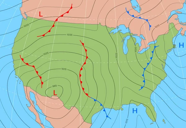
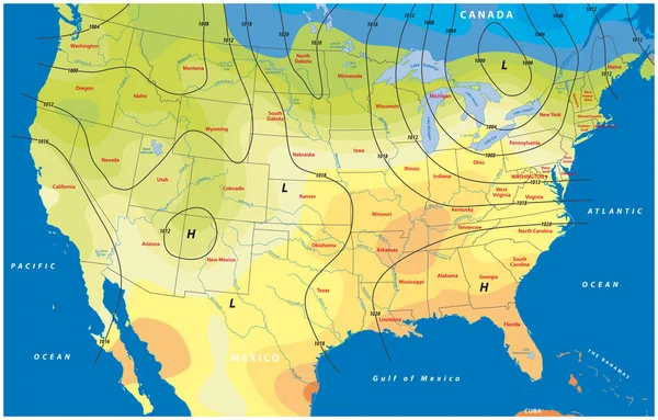
Stock vector fictional map of the usa temperature barometric pressure wind speed wind direction
Published: Oct.23, 2019 07:20:29
Author: Lesniewski
Views: 19
Downloads: 1
File type: vector / eps
File size: 2.4 MB
Orginal size: 4849 x 3100 px
Available sizes:
Level: bronze