Home
Images
Vectors
Videos
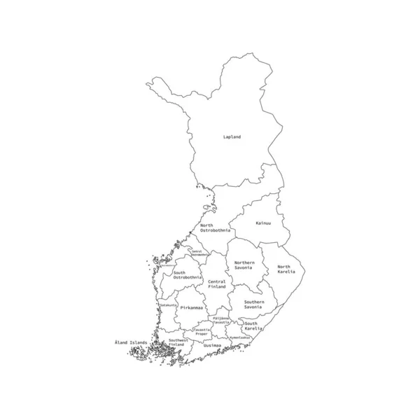
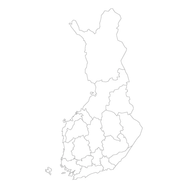
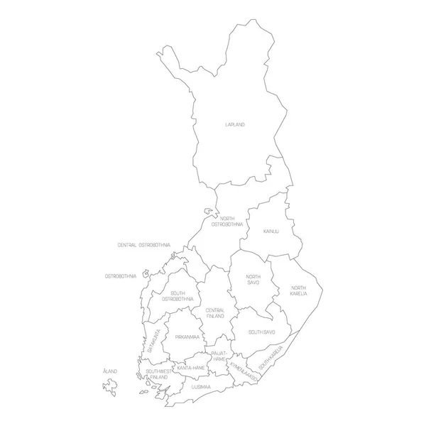
Stock vector Finland - map of regions
Published:
Jun.11, 2021 07:12:08
Author:
pyty
Views:
4
Downloads:
0
File type:
vector
/
eps
File size:
1.09 MB
Orginal size:
6000
x
6000
px
Available sizes:
S
(500 x 500)
M
(1000 x 1000)
L
(2000 x 2000)
XL
(6000 x 6000)
VECT
(6000 x 6000)
EL0
(6000 x 6000)
Level:
silver
Download Vector
Vector topics:
Vector
Graphic
Illustration
Shape
Label
Black
Line
Silhouette
Border
Symbol
City
Contour
Simple
Scandinavia
North
Name
Outline
Country
District
Map
Cartography
Geography
Area
National
Land
State
Chart
Topography
Boundary
Political
Administrative
Stroke
Finland
Helsinki
Suomi
Region
Division
Karelia
Finnish
Province
Subdivision
Lapland
Simplified
Kainuu
Oulu
Infographic
Finland Map
Administrative Divisions
Ostrobothnia
Similar stock vectors
Vector Illustration Of Administrative Division Map Of Finland. Vector Map..
4500 × 4500
Vector Outline Administrative Division Map Of Liechtenstein. Vector Map.
4500 × 4500
Finland - Map Of Regions
6000 × 6000
Obwalden (Cantons Of Switzerland, Swiss Cantons, Swiss Confederation) Map Vector Illustration, Scribble Sketch Canton Of Obwald Map
7087 × 4726
Azerbaijan Map With Landmarks Of The Regions. Flat Illustrated
4700 × 4700
Simple Blank White Vector Map With Black Borders Of Urban City Quarters Of Lugano, Switzerland
4221 × 5712
Isolated Vector Illustration. Black On White Background. EPS 10 Illustration
10000 × 10000
Black Location Map Of Liechtensteiner Community Of Mauren Within Grey Map Of Liechtenstein
3600 × 4800