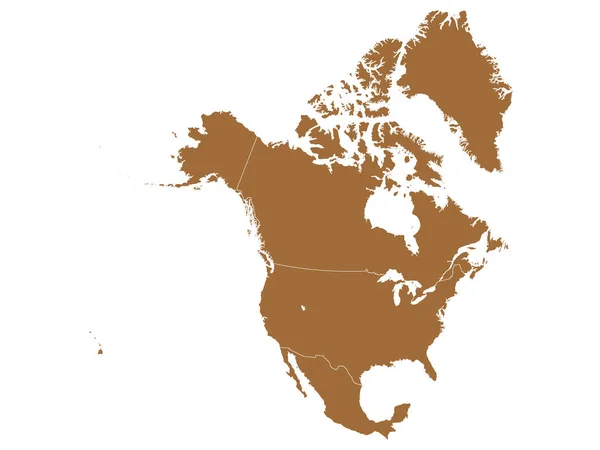
Stock vector Flat Brown Political Map of North America without National Country Borders

Published: Oct.16, 2020 17:28:59
Author: momcilo.jovanov
Views: 4
Downloads: 0
File type: vector / eps
File size: 5.77 MB
Orginal size: 3200 x 2400 px
Available sizes:
Level: bronze
Similar stock vectors
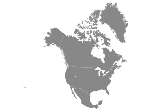
Brown Map Of North America (USA, Canada And Mexico) On White Background With National Country Borders
3200 × 2400
Engeloya Island (Kingdom Of Norway) Map Vector Illustration, Scribble Sketch Engeloya Map
7087 × 4726