Home
Images
Vectors
Videos
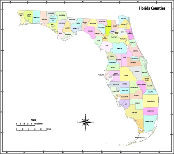
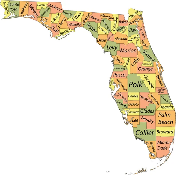
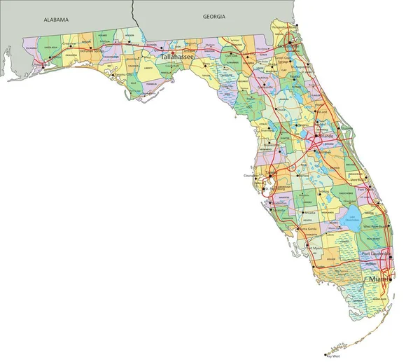
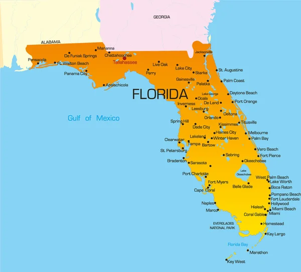
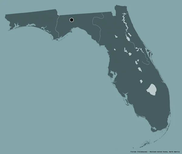
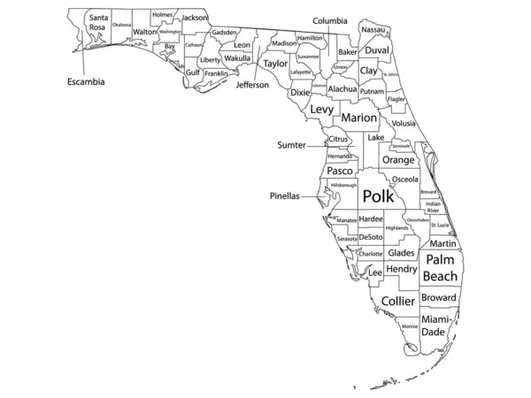
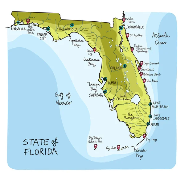
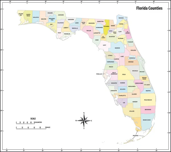
Stock vector florida state outline administrative and political map in color
Published:
Jun.22, 2020 12:45:38
Author:
Lesniewski
Views:
15
Downloads:
4
File type:
vector
/
eps
File size:
1.35 MB
Orginal size:
3662
x
3248
px
Available sizes:
S
(500 x 443)
M
(1000 x 887)
L
(2000 x 1774)
XL
(3662 x 3248)
VECT
(3662 x 3248)
EL0
(3662 x 3248)
Level:
bronze
Download Vector
Vector topics:
Color
White
Vector
Graphic
Illustration
Design
Isolated
Travel
Abstract
Border
Contour
Scale
American
Usa
Detailed
Outline
Country
District
Map
Cartography
Geography
State
Topography
Location
America
Countries
Political
Administrative
United
Region
Kilometer
Mile
Territory
Administration
Province
Florida
Nation
County
Mapping
Coordinates
Coordinate
Infographic
North America
United States
United States Of America
North Arrow
Compass Card
Similar stock vectors
Florida State Outline Administrative And Political Map In Color
4000 × 3901
Florida State Outline Administrative And Political Map In Black And White
3679 × 3264
Pastel Vector Map Of The Federal State Of Florida, USA With Black Borders And Names Of Its Counties
5003 × 4989
Florida - Highly Detailed Editable Political Map With Labeling.
7828 × 6749
Florida
3981 × 3605
Shape Of Florida, State Of Mainland United States, With Its Capital Isolated On A Solid Color Background. Colored Elevation Map. 3D Rendering
3836 × 3244
White Outline Counties Map With Counties Names Of US State Of Florida
4800 × 3600
Hand Drawn Map Of The State Of Florida With Main Cities And Points Of Interest. Colorful Sketch Style
6001 × 5758