Home
Images
Vectors
Videos
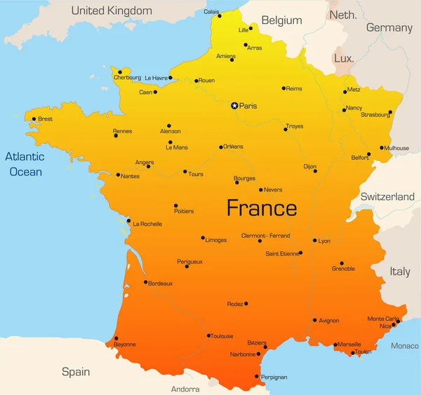
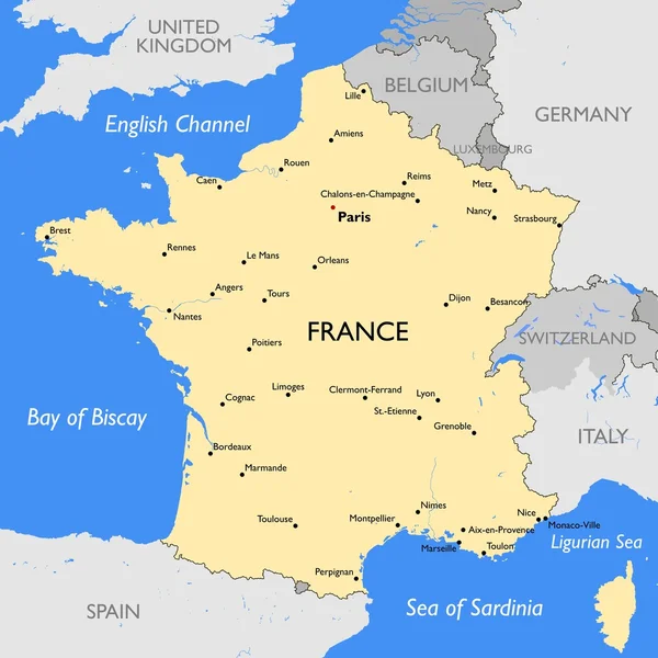
Stock vector France map
Published:
Mar.27, 2015 08:56:00
Author:
lynx_v
Views:
737
Downloads:
2
File type:
vector
/
eps
File size:
0.45 MB
Orginal size:
5400
x
5400
px
Available sizes:
S
(500 x 500)
M
(1000 x 1000)
L
(2000 x 2000)
XL
(5400 x 5400)
VECT
(5400 x 5400)
EL0
(5400 x 5400)
Level:
bronze
Download Vector
Vector topics:
Color
Vector
Illustration
European
France
Detailed
Town
Capital
Europe
Outline
Country
Map
Cartography
Geography
Political
Of
Republic
Brest
Paris
Region
Cities
English
Nation
Eps
Divisions
Orleans
Lyon
Strasbourg
Monaco Ville
Caen
Toulon
Le Mans
Similar stock vectors
France Map | Vector France Map
9000 × 9000
France, Political Map. Regions Of Metropolitan France. French Republic With Capital Paris And 13 Administrative Regions On The Mainland Of Europe And Their Prefectures. English. Illustration. Vector.
6000 × 6000
Flag Of France With A Flagpole Is Installed On The Map Of The Country And Denotes The Capital - Paris. 3D Rendering
5000 × 2813
Blue-gray Detailed Map Of France And Administrative Divisions And Location On The Globe.
5248 × 5480
Map Of France
3921 × 4081
France Political Map
6000 × 6270
France, Metropolitan Regions, Gray Political Map. French Republic With Capital Paris And Administrative Regions On The Mainland Of Europe And Their Prefectures. English Labeling. Illustration. Vector.
6000 × 6000
France
3521 × 3305