Home
Images
Vectors
Videos
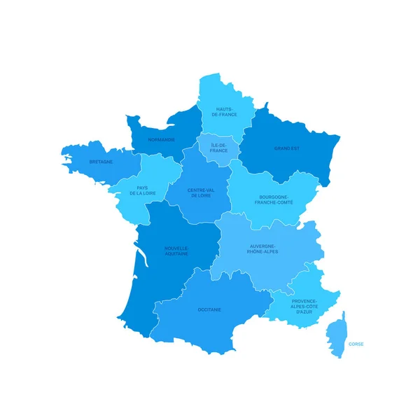
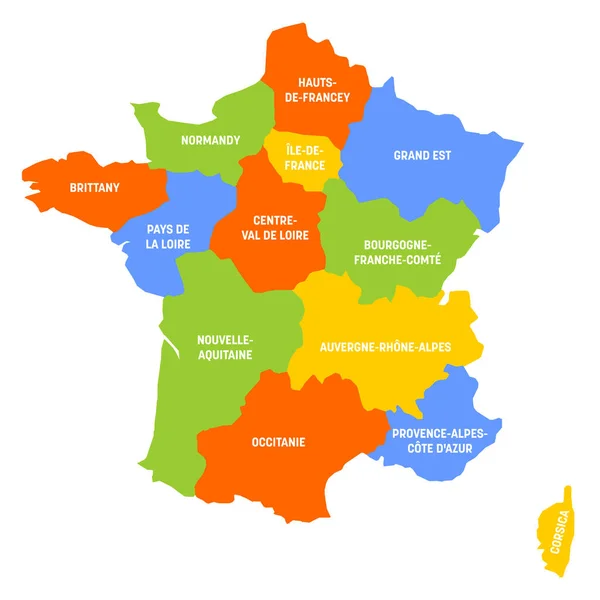
Stock vector France map and navigation icons - Illustration.
Published:
Jul.22, 2015 10:40:27
Author:
dikobrazik
Views:
157
Downloads:
8
File type:
vector
/
eps
File size:
1.39 MB
Orginal size:
5400
x
6292
px
Available sizes:
S
(429 x 500)
M
(858 x 1000)
L
(1716 x 2000)
XL
(5400 x 6292)
VECT
(5400 x 6292)
EL0
(5400 x 6292)
Level:
silver
Download Vector
Vector topics:
Blue
Vector
Business
Sign
Label
French
Nice
Flag
Symbol
City
Pointing
France
Champagne
Map
Land
Topography
Government
Politics
Paris
Bordeaux
Bretagne
Alsace
Marseille
Cannes
Corsica
Regions
Lyon
Strasbourg
Bourgogne
Normandie
Carte
Aquitaine
LILLE
Picardie
Computer Icon
Illustration And Painting
Navigational Equipment
Geographical Locations
French Flag
Map Of France
South France
Interface Icons
Map Pointer
Topographic Map
Western France
France Map
Eastern France
North France
Similar stock vectors
France Map 3D, Flag And Navigation Icons - Illustration.
5400 × 5783
France Regions Map With Editable Outline Vector Illustration
5200 × 5200
Map Of France
6400 × 4800
Map Of France Divided Into 13 Administrative Metropolitan Regions, Since 2016. Four Shades Of Green. Vector Illustration
6000 × 6000
France World Map Country Icon
4521 × 4520
Map Of The France. Vector Image Of A Global Map In The Form Of Regions In France. Easy To Edit
5600 × 5600
France - Map Of Metropolitan Regions
6000 × 6000
France Regions Map Vector
5200 × 5200