Home
Images
Vectors
Videos
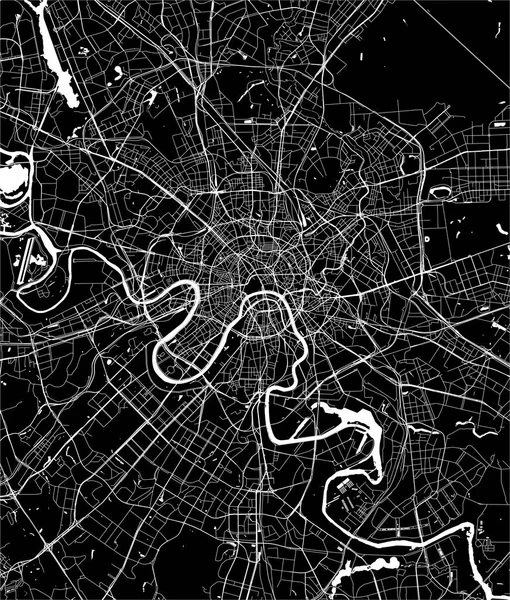
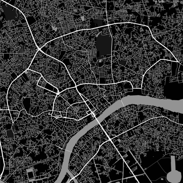
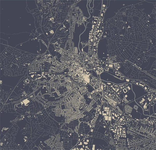
Stock vector Frankfurt am Main Area Vector Map
Published:
Feb.23, 2017 15:23:41
Author:
mail.hebstreit.com
Views:
42
Downloads:
0
File type:
vector
/
eps
File size:
3.98 MB
Orginal size:
8000
x
8000
px
Available sizes:
S
(500 x 500)
M
(1000 x 1000)
L
(2000 x 2000)
XL
(8000 x 8000)
VECT
(8000 x 8000)
EL0
(8000 x 8000)
Level:
bronze
Download Vector
Vector topics:
White
Vector
Background
View
Illustration
Design
Travel
Detail
Black
Road
Traffic
River
Symbol
City
Downtown
Urban
Visit
Monochrome
Wallpaper
Drawing
Street
Highway
Outline
Country
German
Map
Cartography
Geography
Area
Centre
Trip
Metropolis
Highways
Poster
Frankfurt
Region
Roads
Streets
Crossroad
Main
Avenue
Metropolitan
Mapping
Hesse
Neighborhoods
Mapped
Rhine Main
Similar stock vectors
Frankfurt Vector Map
8000 × 8000
Map Of The City Of Nashville, Tennessee, USA
4931 × 5142
Vector Modern Map Of The City Of Moscow, Russia
4804 × 5641
Antwerp Vector Map
8000 × 8000
Map Of The City Of Angers, Maine-et-Loire, Pays De La Loire, France
4168 × 5057
Map Of Palembang City. Urban Black And White Poster. Road Map Image With Metropolitan City Vertical Area View.
4001 × 4001
Map Of The City Of Derby, East Midlands, England, UK
4347 × 4168