Home
Images
Vectors
Videos
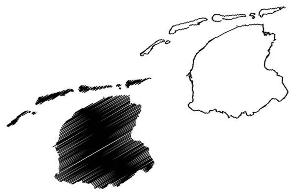
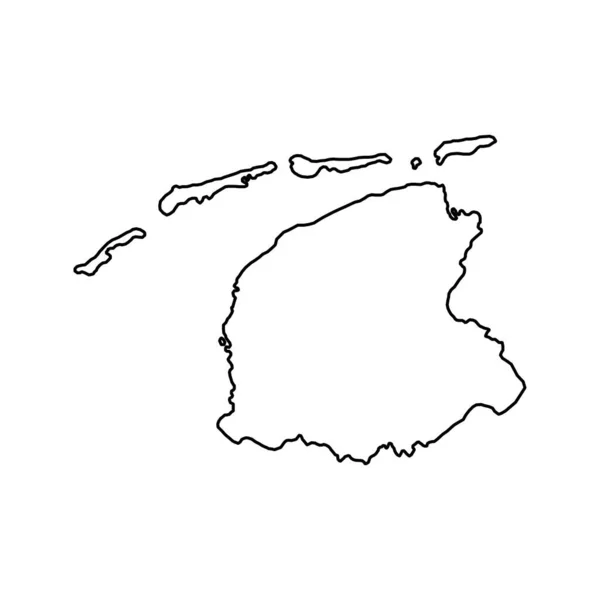
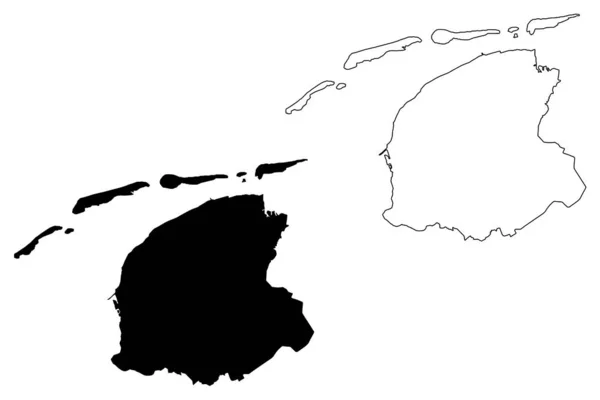
Stock vector Friesland province (Kingdom of the Netherlands, Holland) map vector illustration, scribble sketch Frisia or Fryslan map
Published:
Jun.07, 2019 08:56:54
Author:
Danler
Views:
19
Downloads:
2
File type:
vector
/
eps
File size:
0.65 MB
Orginal size:
7087
x
4726
px
Available sizes:
S
(500 x 333)
M
(1000 x 667)
L
(2000 x 1334)
XL
(7087 x 4726)
VECT
(7087 x 4726)
EL0
(7087 x 4726)
Level:
bronze
Download Vector
Vector topics:
Vector
Background
Illustration
Design
Isolated
Sign
Travel
Abstract
Texture
Line
Silhouette
Border
Icon
City
Flat
Contour
Drawing
World
Netherlands
Scratch
Tourism
Town
Europe
Outline
Country
Map
Cartography
Geography
Area
National
Continent
State
Topography
Administrative
Kingdom
Region
Scribble
Division
Insignia
Territory
Patriotic
Province
County
Districts
Autonomy
Oblast
Friesland
Frisia
Leeuwarden
European Union
Similar stock vectors
Friesland Province (Kingdom Of The Netherlands, Holland) Map Vector Illustration, Scribble Sketch Frisia Or Fryslan Map
7087 × 4726
Nord-Est Department (Republic Of Haiti, Hayti, Hispaniola, Departments Of Haiti) Map Vector Illustration, Scribble Sketch Nord-Est Ma
7087 × 4726
Nord-Ouest Department (Republic Of Haiti, Hayti, Hispaniola, Departments Of Haiti) Map Vector Illustration, Scribble Sketch Nord-Ouest Ma
7087 × 4726
Vector Illustration Of Maps Of Denmark
4500 × 4500
Matanzas Province (Republic Of Cuba, Provinces Of Cuba) Map Vector Illustration, Scribble Sketch Matanzas Ma
7087 × 4726
West Panama Map, Panama, Americas. Filled And Outline Map Designs. Vector Illustration
6001 × 3001
Vector Illustration Of Maps Of Brunei
4500 × 4500
Friesland Province Of The Netherlands. Vector Illustration.
8334 × 8334