Home
Images
Vectors
Videos
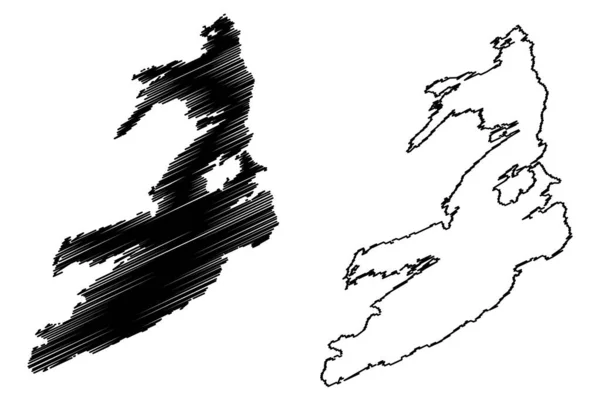
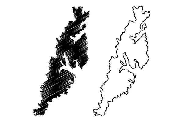
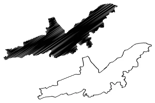
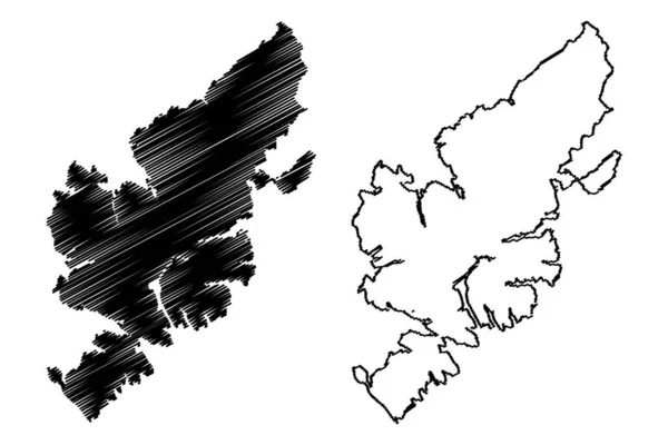
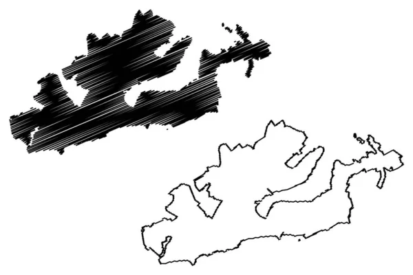
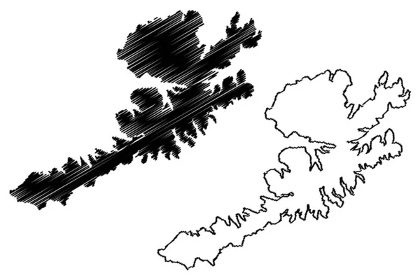
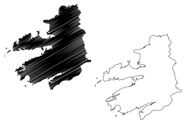
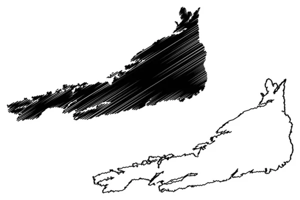
Stock vector Froya island (Kingdom of Norway) map vector illustration, scribble sketch Froya map
Published:
Mar.14, 2022 07:41:26
Author:
Danler
Views:
2
Downloads:
0
File type:
vector
/
eps
File size:
0.91 MB
Orginal size:
7087
x
4726
px
Available sizes:
S
(500 x 333)
M
(1000 x 667)
L
(2000 x 1334)
XL
(7087 x 4726)
VECT
(7087 x 4726)
EL0
(7087 x 4726)
Level:
bronze
Download Vector
Vector topics:
Vector
Illustration
Design
Isolated
Sign
Travel
Abstract
Texture
Black
Line
Silhouette
Border
Symbol
Icon
Flat
Contour
Simple
Drawing
Scratch
Tourism
Europe
Sketch
Outline
Country
Map
Cartography
Geography
Area
Continent
State
Topography
Island
Administrative
Delineation
Region
Scribble
Territory
Borderline
Norway
Patriotic
Province
Nation
Autonomy
Oblast
Archipelago
Froya
Similar stock vectors
Donna Island (Kingdom Of Norway) Map Vector Illustration, Scribble Sketch Donna Map
7087 × 4726
Moskenesoya Island (Kingdom Of Norway, Lofoten Archipelago) Map Vector Illustration, Scribble Sketch Moskenesoya Map
7087 × 4726
Landshut City (Federal Republic Of Germany, Urban District Lower Bavaria, Free State Of Bavaria) Map Vector Illustration, Scribble Sketch Landshut Map
7087 × 4726
Lewis And Harris Island (United Kingdom Of Great Britain And Northern Ireland, Outer Hebrides, Scotland) Map Vector Illustration, Scribble Sketch Lewis With Harris Map
7087 × 4726
Dunedin City (New Zealand, South Island) Map Vector Illustration, Scribble Sketch City Of Dunedin Map
7087 × 4726
Unalaska Island (United States Of America, North America, Alaska, US, USA, Aleutian Islands) Map Vector Illustration, Scribble Sketch Nawan-Alaxsxa Map
7087 × 4726
Hitra Island (Kingdom Of Norway) Map Vector Illustration, Scribble Sketch Hitra Map
7087 × 4726
Kerry County Council (Republic Of Ireland, Counties Of Ireland) Map Vector Illustration, Scribble Sketch Kerry Ma
7087 × 4726