photo free
Home Images Vectors Videos

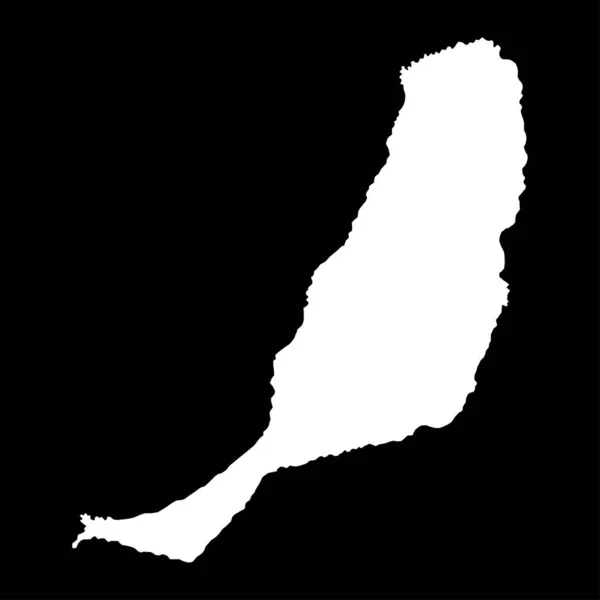
Stock vector Fuerteventura island map, Spain region. Vector illustration.
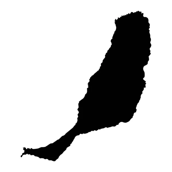
Stock vector Fuerteventura island map, Spain region. Vector illustration.
Published: Sep.19, 2022 09:45:07
Author: majborodinruslan1990.icloud.com
Views: 3
Downloads: 0
File type: vector / eps
File size: 5.36 MB
Orginal size: 8334 x 8334 px
Available sizes:
S
(500 x 500)
M
(1000 x 1000)
L
(2000 x 2000)
XL
(8334 x 8334)
VECT
(8334 x 8334)
EL0
(8334 x 8334)
Level: beginner
Download Vector
Vector topics:

Similar stock vectors

stock vector Fuerteventura map Island silhouette icon Isolated Fuerteventura black map outline Vector

Fuerteventura Map Island Silhouette Icon Isolated Fuerteventura Black Map Outline Vector

8333 × 8333
stock vector Fuerteventura island map, Spain region. Vector illustration.

Fuerteventura Island Map, Spain Region. Vector Illustration.

8334 × 8334
stock vector Stencil map of Fuerteventura. Simple and minimal transparent map of Fuerteventura. Black rectangle with cut shape of the island. Superb vector illustration.

Stencil Map Of Fuerteventura. Simple And Minimal Transparent Map Of Fuerteventura. Black Rectangle With Cut Shape Of The Island. Superb Vector Illustration.

5131 × 5880
stock vector silhouette map of the city of Curitiba in Brazil

Silhouette Map Of The City Of Curitiba In Brazil

5000 × 3000
stock vector Saint Kitts and Nevis Map. St Kittitian and Nevisian Country Map. Black and White Saint Christopher and Nevis National Nation Geography Outline Border Boundary Territory Shape Vector Illustration EPS Clipart

Saint Kitts And Nevis Map. St Kittitian And Nevisian Country Map. Black And White Saint Christopher And Nevis National Nation Geography Outline Border Boundary Territory Shape Vector Illustration EPS Clipart

5000 × 4000
stock vector Map of Fuerteventura

Map Of Fuerteventura

4000 × 5000
stock vector Dadaab city map silhouette in peru

Dadaab City Map Silhouette In Peru

5000 × 3000
stock vector Accurate map of Texel

Accurate Map Of Texel

4000 × 5000