Home
Images
Vectors
Videos
Stock vector General Belgrano department (Chaco) outline map set
Published:
Sep.12, 2024 15:48:46
Author:
davidzydd
Views:
0
Downloads:
0
File type:
vector
/
eps
File size:
0.24 MB
Orginal size:
6000
x
3000
px
Available sizes:
S
(500 x 250)
M
(1000 x 500)
L
(2000 x 1000)
XL
(6000 x 3000)
VECT
(6000 x 3000)
EL0
(6000 x 3000)
Level:
silver
Download Vector
Vector topics:
Vector
Isolated
Shape
Empty
Sign
Border
Icon
Blank
Contour
Detailed
Collection
Clipart
Map
Cartography
Area
General
Boundary
Department
Region
Argentina
Chaco
Departments
General Belgrano
General Belgrano Map
General Belgrano Map Set
General Belgrano Maps
General Belgrano Outline
General Belgrano Outline Map
General Belgrano Outline Map Set
General Belgrano Outline Maps
General Belgrano Silhouette
General Belgrano Vector Map
General Belgrano Vector Outline Map
Map Of General Belgrano
Chaco Departments
Blank General Belgrano Map
General Belgrano Chaco
General Belgrano Chaco Map
General Belgrano Contour
General Belgrano Department
General Belgrano Department Map
General Belgrano Map Outline
Similar stock vectors
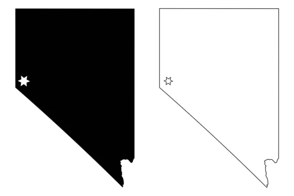
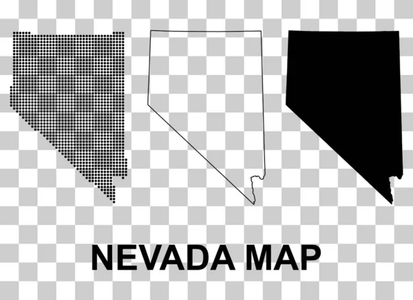
Nevada NV State Maps. Black Silhouette And Outline Isolated On A White Background. EPS Vector
12501 × 8334
Polygonal Abstract Map State Of Nevada With Connected Triangular Shapes Formed From Lines. Capital Of State - Carson City. Good Poster For Wall In Your Home. Decoration For Room Walls.
3532 × 5000
The Black And White Arizona State Silhouette Maps
5000 × 3000
Set Of Nevada Map Shape, United States Of America. Flat Concept Icon Symbol Vector Illustration .
4997 × 3634
Nevada NV State Map USA With Capital City Star At Carson City. Black Silhouette And Outline Isolated On A White Background. EPS Vector
12501 × 8334
Set Of Arizona Map Shape, United States Of America. Flat Concept Icon Symbol Vector Illustration .
4900 × 3460
White Pine County, Nevada (U.S. County, United States Of America, USA, U.S., US) Map Vector Illustration, Scribble Sketch White Pine Map
7087 × 4726
Douglas County, Nevada (U.S. County, United States Of America, USA, U.S., US) Map Vector Illustration, Scribble Sketch Douglas Map
7087 × 4726