Home
Images
Vectors
Videos
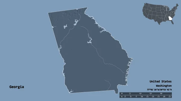
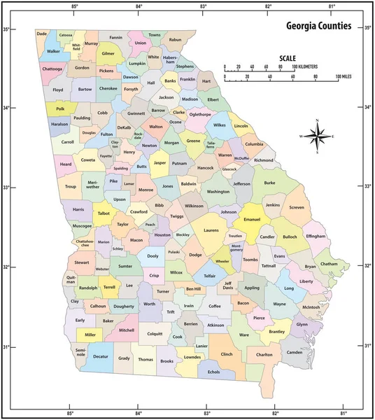
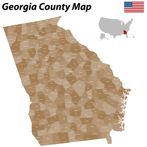
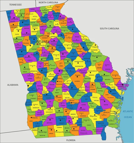
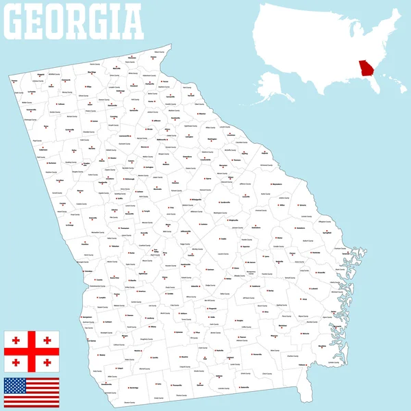
Stock vector Georgia County Map
Published:
Oct.09, 2015 08:07:59
Author:
Malachy666
Views:
284
Downloads:
15
File type:
vector
/
ai
File size:
1.08 MB
Orginal size:
5000
x
5000
px
Available sizes:
S
(500 x 500)
M
(1000 x 1000)
L
(2000 x 2000)
XL
(5000 x 5000)
VECT
(5000 x 5000)
EL0
(5000 x 5000)
Level:
bronze
Download Vector
Vector topics:
Vector
Colored
Illustration
Brown
Border
Flag
City
Outline
Map
Athens
State
Borders
Political
Georgia
Savannah
Cities
Administration
Nation
County
Columbia
Columbus
Augusta
Atlanta
Bibb
Richmond
Fulton
Roswell
Albany
Counties
Gainesville
Dekalb
Chatham
United States Of America
Marietta
State Of Georgia
Whitfield
Gwinnett
Paulding
Similar stock vectors
Shape Of Georgia, State Of Mainland United States, With Its Capital Isolated On Solid Background. Distance Scale, Region Preview And Labels. Colored Elevation Map. 3D Rendering
2880 × 1620
North Dakota County Map
5864 × 3000
United States Of America Illustration With The Selected State Of
4167 × 4167
Mississippi County Map
3125 × 5000
Georgia State Outline Administrative And Political Vector Map In Color
3100 × 3467
Georgia County Map
5000 × 5000
Georgia Map
3803 × 5502
Colorful Georgia Political Map With Clearly Labeled, Separated Layers. Vector Illustration.
4489 × 4758