Home
Images
Vectors
Videos
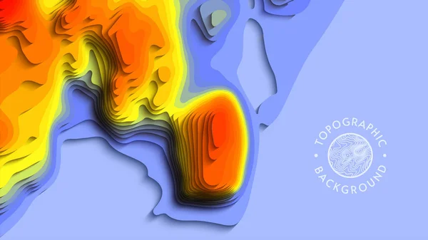
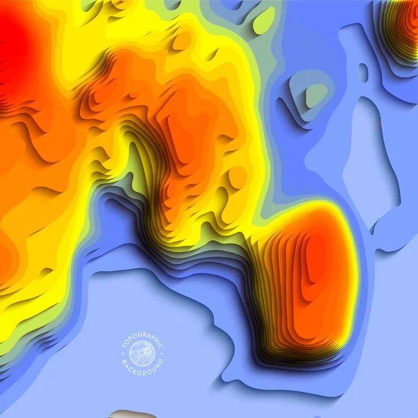
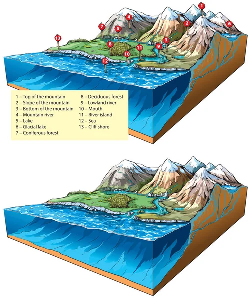
Stock vector Global Warming Effects Map
Published:
Apr.16, 2014 08:18:52
Author:
bright_green
Views:
179
Downloads:
2
File type:
vector
/
eps
File size:
4.54 MB
Orginal size:
2953
x
5906
px
Available sizes:
S
(250 x 500)
M
(500 x 1000)
L
(1000 x 2000)
XL
(2953 x 5906)
VECT
(2953 x 5906)
EL0
(2953 x 5906)
Level:
beginner
Download Vector
Vector topics:
Water
Mountain
Sea
Weather
River
Effect
Ecology
Global
Plain
Show
Ice
Coastline
Ocean
Glacier
Hill
Map
Land
Level
Lake
Rising
Climate
Disaster
Warming
Effects
Island
Of
Shoreline
Levels
And
Melting
Altitude
To
Maps
Thermal
Expansion
Due
As
Glaciers
Increasing
Long Term
Flooding
Such
Global Warming
Similar stock vectors
Three Versions Of The World Map With The Enlarged Map Of Mali With Flag.
8000 × 2000
World Map Fuller Projection
3209 × 1637
Temperature Control Gradient Background. 3d Art Vector Cutout. Topographical Map Color Wave Fluid Shape. Global Warming Origami Design With Creative Carve Geometric Shapes. Relief With Water Or Sea.
7407 × 4167
Highly Detailed Republic Of Palau Map With Borders Isolated On Background
8000 × 2667
Retro Hipster Art Banner Design. Wavy Motley Shapes. Overlapping Hand Drawn Texture. Stripes, Dots And Scribbles Create Exotic Tropical Background. Natural Organic Colors.
6493 × 6493
Temperature Control Gradient Background. 3d Art Vector Cutout. Topographical Map Color Wave Fluid Shape. Global Warming Origami Design With Creative Carve Geometric Shapes. Relief With Water Or Sea.
4000 × 4000
Vector Illustration Of Inland Relief Types - Landforms: Mountains, Rivers And Sea.
8000 × 9512
Map Of Denmark
6047 × 4320