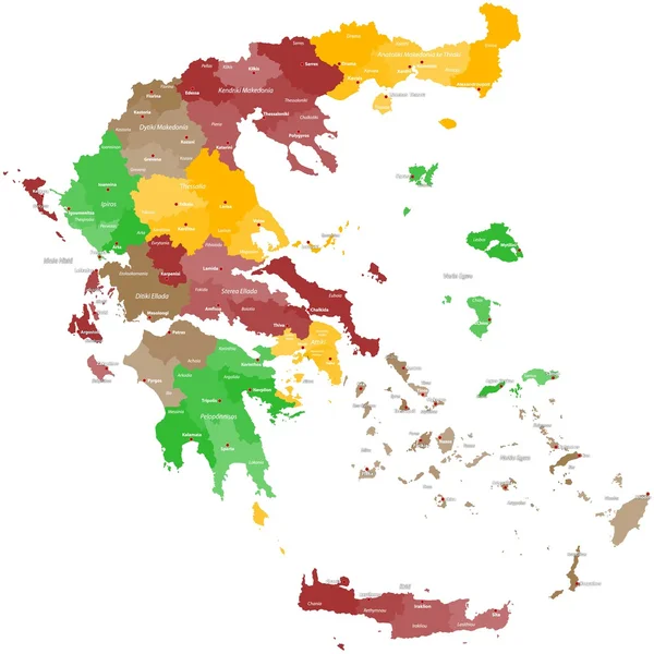
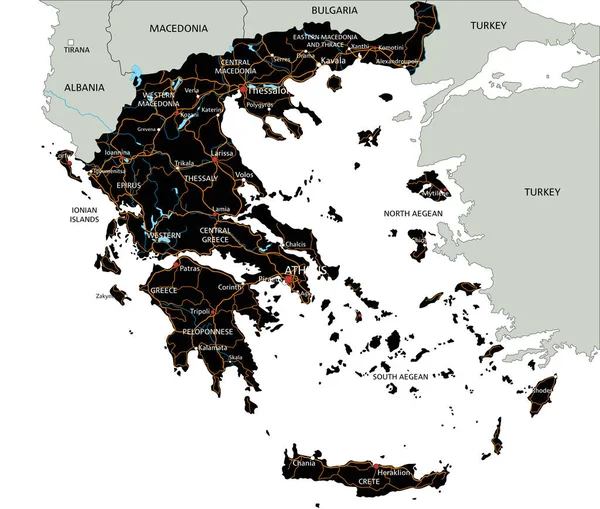
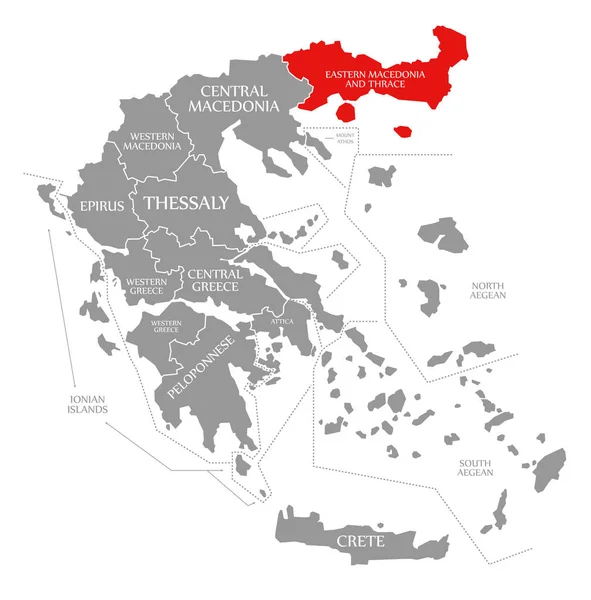
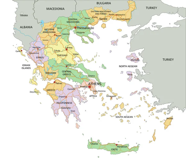
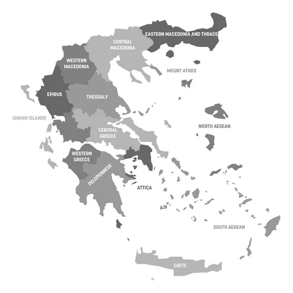
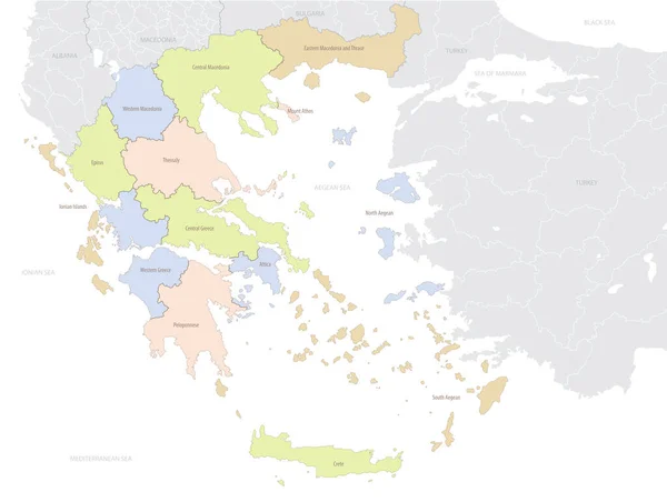
Stock vector Greece map with administrative divisions and country location in Europe, detailed vector illustration
Published: Jan.19, 2021 15:23:01
Author: martinova4
Views: 0
Downloads: 0
File type: vector / eps
File size: 3.81 MB
Orginal size: 7677 x 5792 px
Available sizes:
Level: beginner