Home
Images
Vectors
Videos
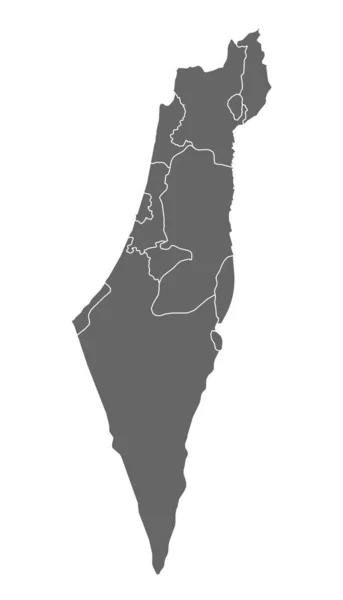
Stock vector Grey Flat Districts Map of Middle Eastern Country of Israel
Published:
Nov.27, 2020 07:34:56
Author:
momcilo.jovanov
Views:
2
Downloads:
0
File type:
vector
/
eps
File size:
0.58 MB
Orginal size:
3600
x
4800
px
Available sizes:
S
(375 x 500)
M
(750 x 1000)
L
(1500 x 2000)
XL
(3600 x 4800)
VECT
(3600 x 4800)
EL0
(3600 x 4800)
Level:
bronze
Download Vector
Vector topics:
Color
White
Vector
Background
Graphic
Illustration
Design
Isolated
Shape
Sign
Art
Travel
Abstract
Border
Flag
Banner
Symbol
Concept
Icon
City
Contour
Earth
World
Ancient
Asian
Outline
Country
Map
Cartography
Geography
Historic
National
History
Continent
Asia
State
Emblem
Patriotism
Political
Administrative
Republic
Israel
Official
Region
Iraq
Patriotic
Province
Nation
Iran
Mumbai
Similar stock vectors
Palestine, Israel Map Country, Jeruzalem Zone On White Background
3200 × 5580
High Quality Map Of Israel With Borders Of The Regions On White Backgroun
4000 × 4000
Israel Map, Administrative Division, Blue White Card Paper 3D, Blank
4104 × 4100
Israel Map, Administrative Division, White Blue Card Paper 3D, Blank
4226 × 4100
Map Of Israel.
2700 × 3600
High Quality Political Map Of Israel And Lebanon With Borders Of The Regions Or Provinces. Vector Illustration
4000 × 4000
Israel Map Silhouette White Icon
4521 × 4521