Home
Images
Vectors
Videos
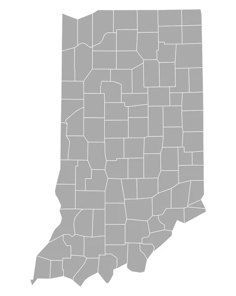
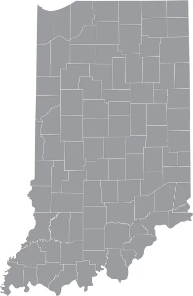
Stock vector Grey Flat Election Counties Map of the USA Federal State of Indiana
Published:
Oct.15, 2020 11:45:49
Author:
momcilo.jovanov
Views:
0
Downloads:
0
File type:
vector
/
eps
File size:
0.5 MB
Orginal size:
3600
x
4800
px
Available sizes:
S
(375 x 500)
M
(750 x 1000)
L
(1500 x 2000)
XL
(3600 x 4800)
VECT
(3600 x 4800)
EL0
(3600 x 4800)
Level:
bronze
Download Vector
Vector topics:
White
Vector
Background
Illustration
Isolated
Border
Gray
Flat
Grey
Us
Usa
North
Country
Map
State
America
United
States
Washington
Vote
Federal
President
County
Elections
Voter
Trump
Electoral
Counties
Biden
Poitics
Similar stock vectors
Accurate Map Of Indiana
4000 × 5000
Grey Flat Election Counties Map Of The USA Federal State Of Ohio
3600 × 4800
Highly Detailed Ohio Blind Map.
3566 × 4040
Accurate Map Of Indiana
4000 × 5000
Accurate Map Of Ohio
5000 × 4000
Indiana Map Shape, United States Of America. Flat Concept Icon Symbol Vector Illustration .
4096 × 4096
Gray Vector Map Of The Federal State Of Indiana, USA With White Borders Of Its Counties
3986 × 6105
White Blank Vector Administrative Map Of The Federal State Of Ohio, USA With Black Borders Of Its Counties
4699 × 5107