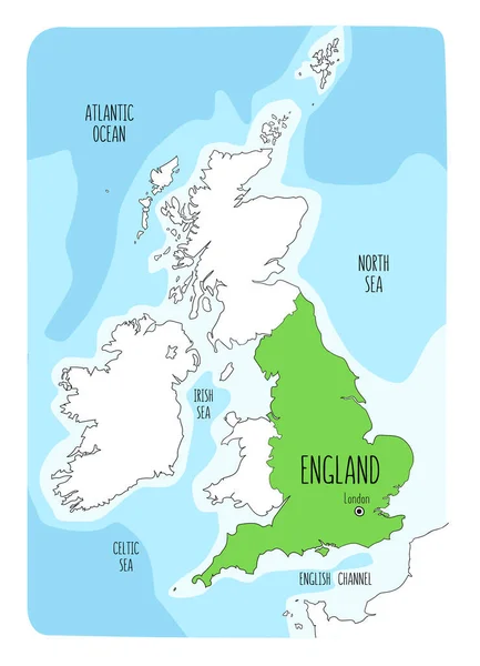
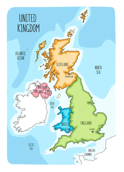
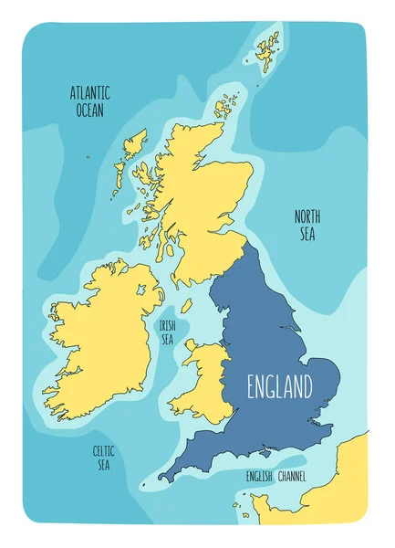
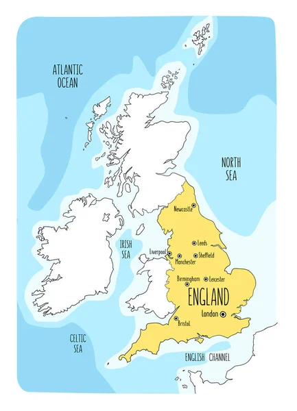
Stock vector Hand drawn map of England and the British Isles. Colorful hand drawn vector illustration
Published: Mar.04, 2020 10:13:35
Author: LaraFields
Views: 4
Downloads: 0
File type: vector / eps
File size: 6.4 MB
Orginal size: 6000 x 8302 px
Available sizes:
Level: beginner
Similar stock vectors
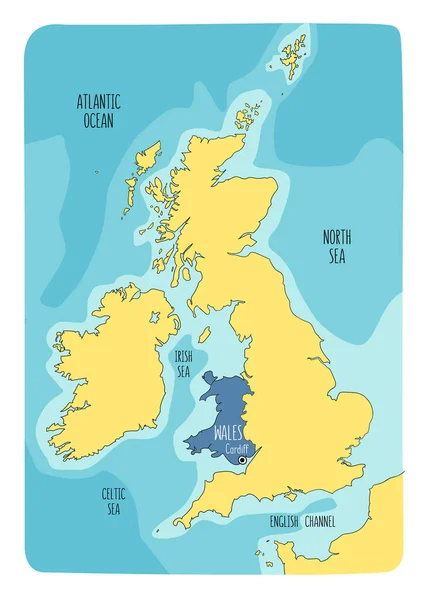
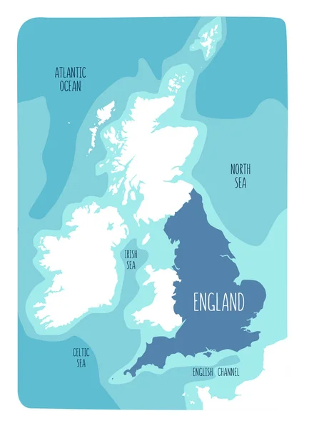
Hand Drawn Map Of England And The British Isles. Colorful Hand Drawn Vector Illustration
6000 × 8302
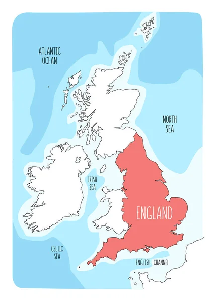
Hand Drawn Map Of England And The British Isles. Colorful Hand Drawn Vector Illustration
6000 × 8302
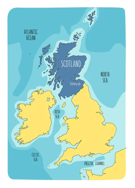
Hand Drawn Map Of Scotland And The British Isles. Colorful Hand Drawn Vector Illustration.
6000 × 8302