Home
Images
Vectors
Videos
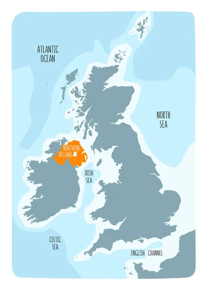
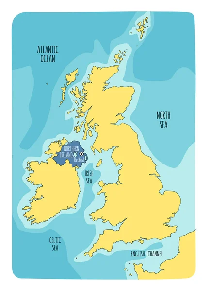
Stock vector Hand drawn map of Northern Ireland and the British Isles. Colorful hand drawn vector illustration.
Published:
Apr.29, 2020 08:25:17
Author:
LaraFields
Views:
1
Downloads:
0
File type:
vector
/
eps
File size:
5.96 MB
Orginal size:
6000
x
8302
px
Available sizes:
S
(361 x 500)
M
(723 x 1000)
L
(1445 x 2000)
XL
(6000 x 8302)
VECT
(6000 x 8302)
EL0
(6000 x 8302)
Level:
beginner
Download Vector
Vector topics:
Green
White
Vector
Background
Colorful
Graphic
Illustration
Design
Isolated
Shape
Travel
Abstract
Sea
Black
Silhouette
Cartoon
Hand
Symbol
Icon
Drawing
Northern
Sketch
Outline
Country
Map
Cartography
Geography
Continent
Ireland
Uk
Great
Island
United
Kingdom
Britain
Doodle
British
Freehand
Wales
Vignetting
Nation
Scotland
Hand Drawn
Isle
Sketchbook
Belfast
Ulster
Northern Ireland
Similar stock vectors
Hand Drawn Map Of Wales And The British Isles. Colorful Hand Drawn Vector Illustration.
6000 × 8302
Hand Drawn Map Of Wales And The British Isles. Colorful Hand Drawn Vector Illustration.
6000 × 8302
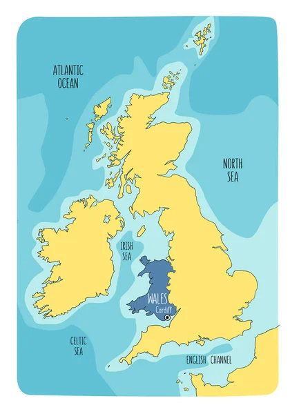
Hand Drawn Map Of Wales And The British Isles. Colorful Hand Drawn Vector Illustration. Green
6000 × 8302
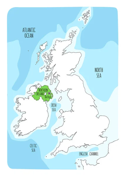
Hand Drawn Map Of Northern Ireland And The British Isles. Colorful Hand Drawn Vector Illustration. Green
6000 × 8302
Hand Drawn Map Of Northern Ireland And The British Isles. Colorful Hand Drawn Vector Illustration.
6000 × 8302
Vector Map Great Britain. Isolated Vector Illustration. Black On White Background. EPS 10 Illustration.
5003 × 5010
Hand Drawn Map Of Scotland And The British Isles. Colorful Hand Drawn Vector Illustration. Green
6000 × 8302
Map Ireland
2970 × 2100