Home
Images
Vectors
Videos
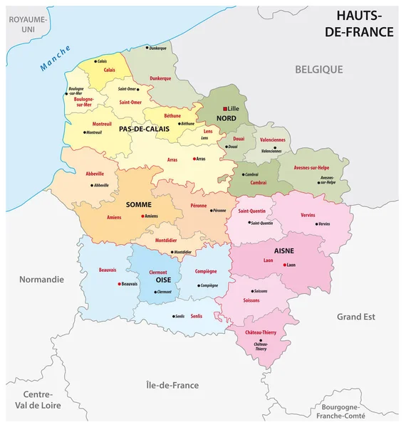
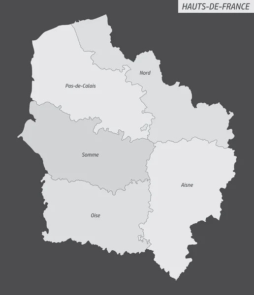
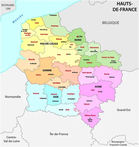
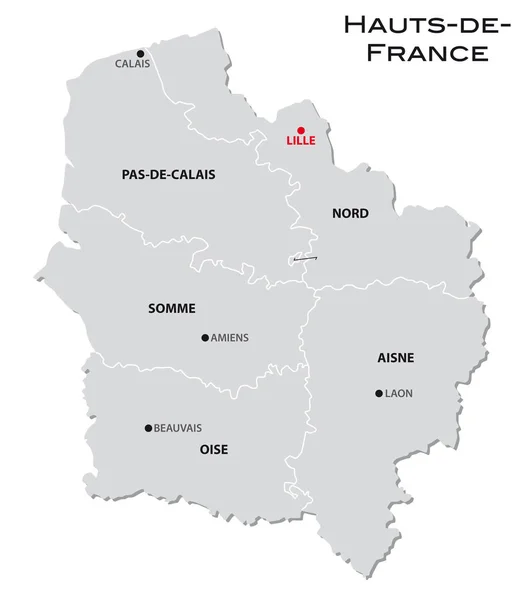
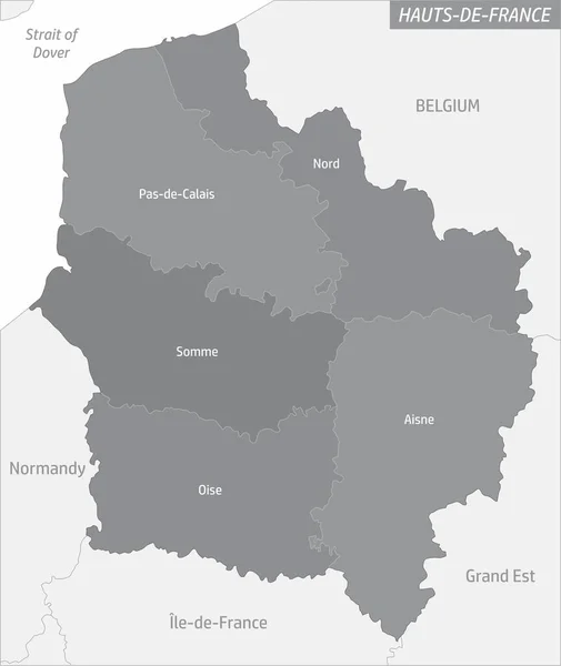
Stock vector Hauts-de-France administrative map and surroundings with labels, France
Published:
May.24, 2021 11:37:43
Author:
luisrftc
Views:
0
Downloads:
0
File type:
vector
/
eps
File size:
8.32 MB
Orginal size:
4216
x
5004
px
Available sizes:
S
(421 x 500)
M
(843 x 1000)
L
(1685 x 2000)
XL
(4216 x 5004)
VECT
(4216 x 5004)
EL0
(4216 x 5004)
Level:
bronze
Download Vector
Vector topics:
White
Vector
Background
Graphic
Illustration
Design
Isolated
Simplicity
Business
Travel
European
French
Line
Border
Gray
Symbol
Simple
France
Coast
Tourism
Europe
Outline
Country
District
Map
Cartography
Geography
Area
National
Land
State
Topography
Boundary
Political
Administrative
Geographic
Department
Region
Division
Territory
Province
Nation
County
Territorial
Regions
Commune
Arrondissement
Hauts De France
Similar stock vectors
Administrative Map Of The New French Region Hauts De France
3100 × 3263
Hauts-de-France Administrative Map Isolated On Dark Background, France
4300 × 5000
Administrative Map Of The New French Region Hauts De France
3975 × 4000
Simple Gray Administrative Map Of The New French Region Hauts France
3942 × 4000
Simple Gray Administrative Map Of The New French Region Hauts-de-France
3100 × 3493
Hauts-de-France Administrative Map Divided In Departments With Labels, France
4300 × 5000
Hauts-de-France Administrative Map Isolated On White Background, France
4300 × 5000
Hauts-de-France Administrative Map Divided In Grayscale And Isolated On White Background, France
3958 × 5000