Home
Images
Vectors
Videos
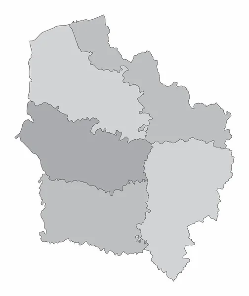
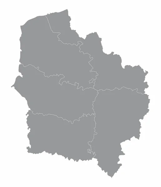
Stock vector Hauts-de-France administrative map isolated on white background, France
Published:
Jun.18, 2021 08:14:38
Author:
luisrftc
Views:
1
Downloads:
0
File type:
vector
/
eps
File size:
8.12 MB
Orginal size:
4300
x
5000
px
Available sizes:
S
(430 x 500)
M
(860 x 1000)
L
(1720 x 2000)
XL
(4300 x 5000)
VECT
(4300 x 5000)
EL0
(4300 x 5000)
Level:
bronze
Download Vector
Vector topics:
White
Vector
Background
Graphic
Illustration
Design
Isolated
Simplicity
Business
Travel
European
French
Line
Border
Gray
Symbol
Simple
France
Coast
Tourism
Europe
Outline
Country
District
Map
Cartography
Geography
Area
National
Land
State
Topography
Boundary
Political
Administrative
Geographic
Department
Region
Division
Territory
Province
Nation
County
Territorial
Regions
Commune
Arrondissement
Hauts De France
Similar stock vectors
Hauts-de-France Administrative Grayscale Map Isolated On White Background, France
4206 × 5000
Map Of Belarus
8017 × 6767
Grand Est Administrative Map Isolated On White Background, France
5000 × 4374
The Brandenburg Isolated Map Divided In Districts, Germany
5000 × 5000
Centre-Val De Loire Administrative Map Isolated On White Background, France
4176 × 5000
The Saxony-Anhalt Isolated Map Divided In Districts, Germany
4000 × 5000
Worcestershire County Administrative Map Isolated On White Background, England
5000 × 4354
The Luxembourg Isolated Map Divided In Cantons
3701 × 5012