Home
Images
Vectors
Videos
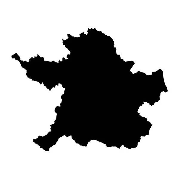
Stock vector Heves county map, administrative district of Hungary. Vector illustration.
Published:
Jun.02, 2023 07:52:17
Author:
majborodinruslan1990.icloud.com
Views:
0
Downloads:
0
File type:
vector
/
eps
File size:
5.32 MB
Orginal size:
8334
x
8334
px
Available sizes:
S
(500 x 500)
M
(1000 x 1000)
L
(2000 x 2000)
XL
(8334 x 8334)
VECT
(8334 x 8334)
EL0
(8334 x 8334)
Level:
beginner
Download Vector
Vector topics:
Vector
Graphic
Illustration
Design
Isolated
Sign
Texture
Line
Silhouette
Border
Banner
Symbol
Icon
Contour
Simple
Drawing
Template
Detailed
Capital
Europe
Outline
Country
District
Map
Cartography
Geography
Area
National
State
Chart
Topography
Boundary
Political
Administrative
Region
Division
Federal
Territory
Atlas
Hungary
Province
County
Mapping
Cut Out
Heves
Similar stock vectors
North Rhine Westphalia Map. Vector Illustration.
8334 × 8334
Donetsk Peoples Republic Map Vector Silhouette Illustration Isolated On White Background. Self Proclaimed Republic Part Of Eastern Ukraine Territory.
4803 × 5001
Vector Map Belgium. Isolated Vector Illustration. Black On White Background. EPS 10 Illustration.
5000 × 5000
County Meath Map, Administrative Counties Of Ireland. Vector Illustration.
8334 × 8334
Cambridgeshire County Dark Silhouette Map Isolated On White Background, England
4500 × 5000
County Laois Map, Administrative Counties Of Ireland. Vector Illustration.
8334 × 8334
Vector Map Luxembourg. Isolated Vector Illustration. Black On White Background. EPS 10 Illustration.
5000 × 5000
County Wicklow Map, Administrative Counties Of Ireland. Vector Illustration.
8334 × 8334