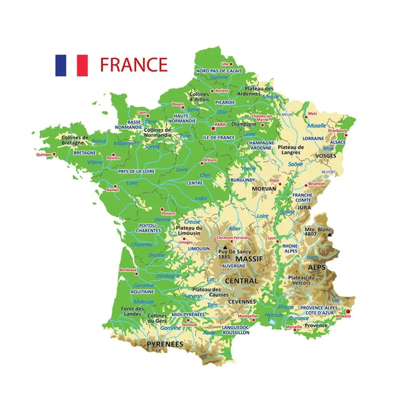
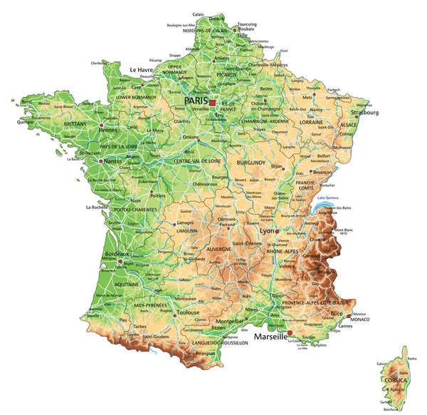
Stock vector High detailed France physical map with labeling.
Published: Feb.02, 2022 09:02:25
Author: delpieroo
Views: 116
Downloads: 9
File type: vector / eps
File size: 8.2 MB
Orginal size: 4787 x 4649 px
Available sizes:
Level: bronze