Home
Images
Vectors
Videos
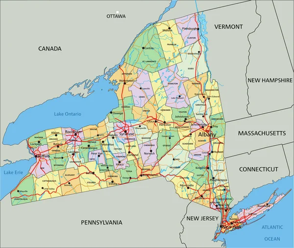
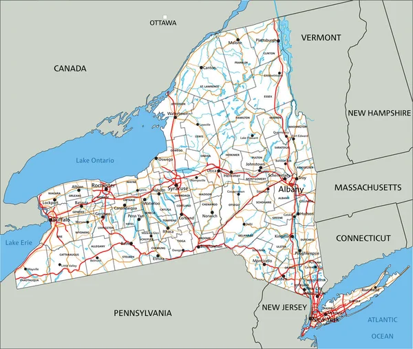
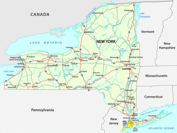
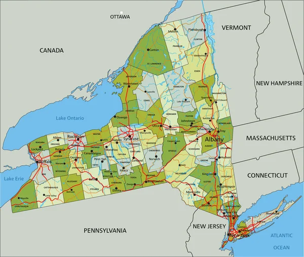
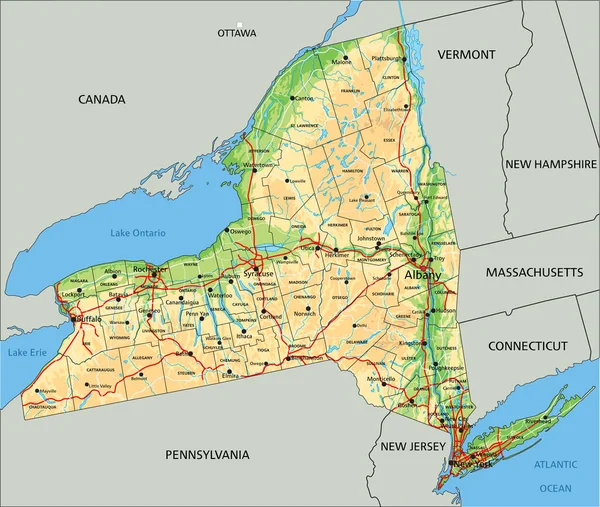
Stock vector High detailed New York physical map with labeling.
Published:
Apr.27, 2023 07:00:07
Author:
delpieroo
Views:
3
Downloads:
1
File type:
vector
/
eps
File size:
8.87 MB
Orginal size:
4814
x
4073
px
Available sizes:
S
(500 x 423)
M
(1000 x 846)
L
(2000 x 1692)
XL
(4814 x 4073)
VECT
(4814 x 4073)
EL0
(4814 x 4073)
Level:
bronze
Download Vector
Vector topics:
Vector
Background
Graphic
Colored
Illustration
Label
Tag
Abstract
Sea
Road
City
Physical
Contour
American
Us
Usa
Ocean
Relief
Capital
Elevation
Outline
Country
District
Map
Cartography
Geography
National
Continent
Land
State
Topography
Terrain
Interstate
Atlantic
Editable
Territory
Atlas
County
Mapping
Rivers
Shaded
Topographic
Albany
New York
United States Of America
New York City
Empire State
Lake Ontario
Long Island
Similar stock vectors
New York - Highly Detailed Editable Political Map With Labeling.
4814 × 4073
High Detailed New York Physical Map With Labeling.
4814 × 4073
High Detailed New York Road Map With Labeling.
4814 × 4073
Road Map Of The US American Federal State New York
4276 × 3232
Highly Detailed Editable Political Map With Separated Layers. New York.
4814 × 4073
New York - Highly Detailed Editable Political Map With Labeling.
4814 × 4073
New York State (NYS), Political Map, With Capital Albany, Borders, Important Cities, Rivers And Lakes. State In The Northeastern United States Of America. English Labeling. Illustration. Vector.
7832 × 6000
New York Administrative Map
4539 × 3390