Home
Images
Vectors
Videos
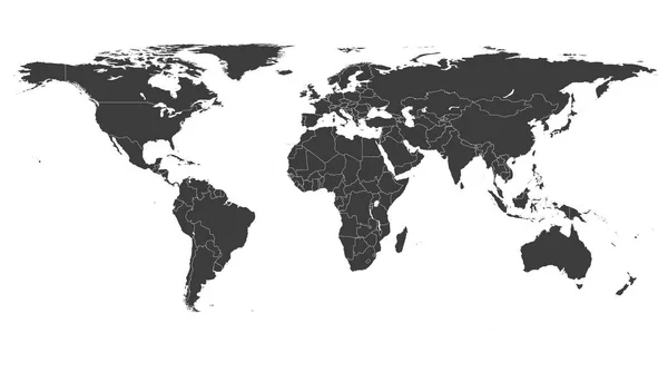
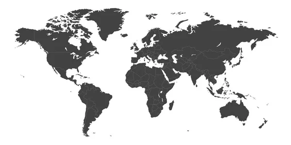
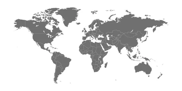
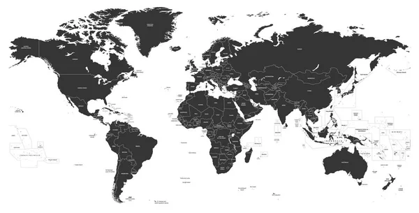
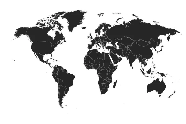
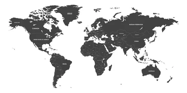
Stock vector High Detailed Political countries World Map. Vector illustration
Published:
Jan.15, 2020 13:54:16
Author:
vectorplus
Views:
254
Downloads:
6
File type:
vector
/
eps
File size:
3.8 MB
Orginal size:
9000
x
4500
px
Available sizes:
S
(500 x 250)
M
(1000 x 500)
L
(2000 x 1000)
XL
(9000 x 4500)
VECT
(9000 x 4500)
EL0
(9000 x 4500)
Level:
bronze
Download Vector
Vector topics:
Vector
Illustration
Design
Isolated
Business
Sign
Label
Travel
Transportation
Line
Modern
Symbol
Effect
Icon
City
Global
Earth
Planet
Usa
Template
North
Europe
Globe
East
South
Country
West
Map
Cartography
Geography
Africa
Continent
Asia
Chart
America
Countries
Australia
Island
Political
Region
Marker
Continents
Atlas
Infographic
World Globe
Globe Earth
World Icon
Globe Map
Maps Of The World
Political World Map
Similar stock vectors
Political World Map Vector Illustration Isolated On White Background. Editable And Clearly Labeled Layers.
5600 × 3400
World Map Vector Illustration On White Background.
5836 × 3336
World Map Divided Into Six Continents. Simple Flat Vector Illustration
6000 × 3000
High Detailed Political Countries World Map. Vector Illustration
9000 × 4500
World Map Vector Image Isolated On White Background.
6000 × 3375
World Map Vector Abstract Illustration
8334 × 4167
Vector High Detailed Political World Map
7292 × 3709
Detailed, High Resolution, Accurate Vector Map Of The World
6000 × 4000