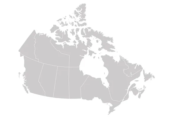
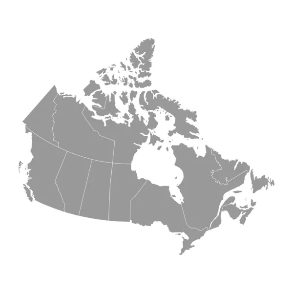
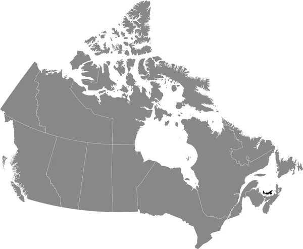
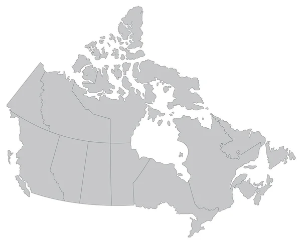
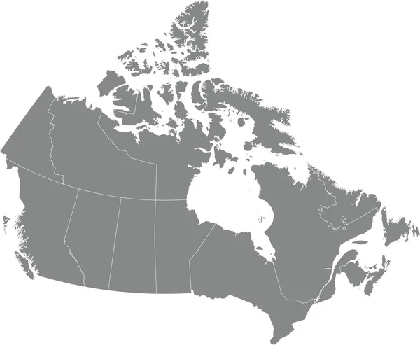
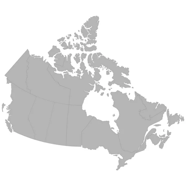
Stock vector High quality map of Canada with borders of the regions on white backgroun
Published: Sep.10, 2018 09:52:32
Author: grebeshkovmaxim@gmail.com
Views: 45
Downloads: 2
File type: vector / eps
File size: 1.07 MB
Orginal size: 4000 x 4000 px
Available sizes:
Level: silver