Home
Images
Vectors
Videos
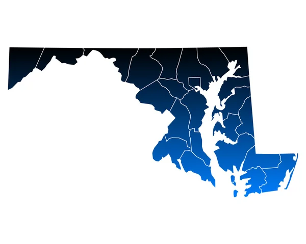
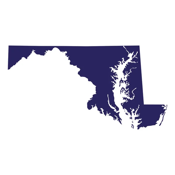
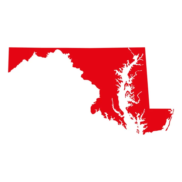
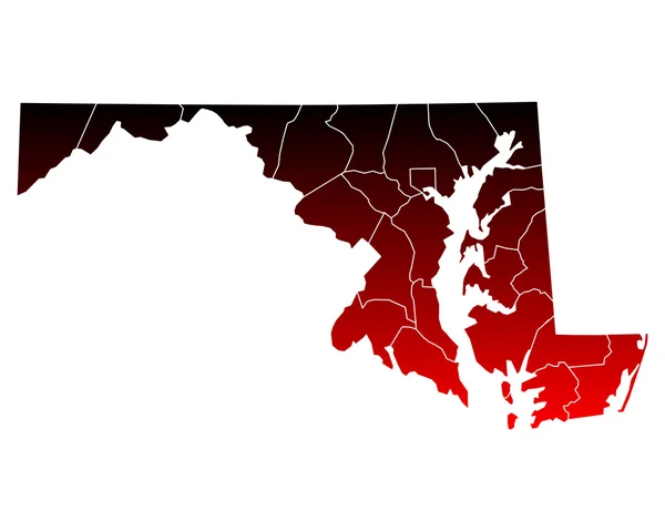
Stock vector High Quality map of Maryland is a state of United States of America with borders of the counties
Published:
Sep.03, 2020 08:31:09
Author:
grebeshkovmaxim@gmail.com
Views:
0
Downloads:
0
File type:
vector
/
eps
File size:
1.77 MB
Orginal size:
4000
x
4000
px
Available sizes:
S
(500 x 500)
M
(1000 x 1000)
L
(2000 x 2000)
XL
(4000 x 4000)
VECT
(4000 x 4000)
EL0
(4000 x 4000)
Level:
silver
Download Vector
Vector topics:
White
Blue
Vector
Background
Graphic
Illustration
Design
Isolated
Shape
Abstract
Natural
Cut
Line
Silhouette
Border
Symbol
Concept
Icon
Blank
Contour
World
American
Us
Usa
Country
Map
Cartography
Geography
National
Land
State
Location
America
United
Region
Division
Sub
Federal
Province
Maryland
Nation
County
Infographic
Similar stock vectors
Accurate Map Of Maryland
5000 × 4000
Accurate Map Of Maryland
5000 × 4000
Map Of Maryland
5000 × 4000
Map Of The U.S. State Of Maryland
5000 × 5000
Map Of The U.S. State Of Maryland
5000 × 5000
Map Of The U.S. State Of Maryland
5000 × 5000
Accurate Map Of Maryland
5000 × 4000