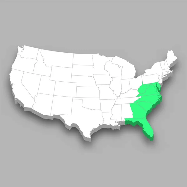
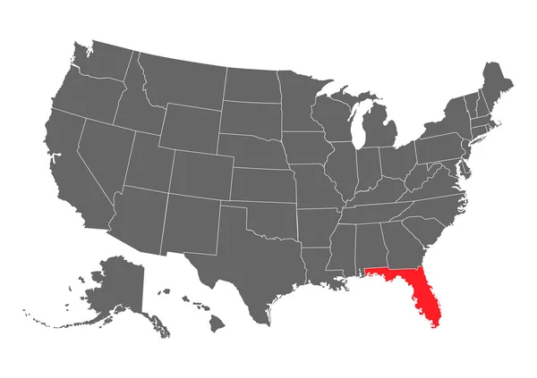
Stock vector High Quality map of South region of United States of America with borders of the states

Published: Jan.16, 2021 08:51:00
Author: grebeshkovmaxim@gmail.com
Views: 3
Downloads: 0
File type: vector / eps
File size: 1.12 MB
Orginal size: 4000 x 4000 px
Available sizes:
Level: silver
Similar stock vectors

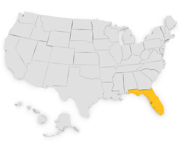
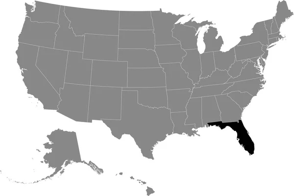
Florida Vector Map Silhouette. High Detailed Illustration. United State Of America Country
5000 × 3531