photo free
Home Images Vectors Videos

Stock vector High quality political map of Israel and Syria with borders of the regions or provinces. Vector illustration
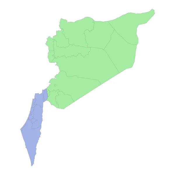
Stock vector High quality political map of Israel and Syria with borders of the regions or provinces. Vector illustration
Published: Mar.21, 2023 18:54:57
Author: grebeshkovmaxim@gmail.com
Views: 0
Downloads: 0
File type: vector / eps
File size: 1.03 MB
Orginal size: 4000 x 4000 px
Available sizes:
S
(500 x 500)
M
(1000 x 1000)
L
(2000 x 2000)
XL
(4000 x 4000)
VECT
(4000 x 4000)
EL0
(4000 x 4000)
Level: silver
Download Vector
Vector topics:

Similar stock vectors

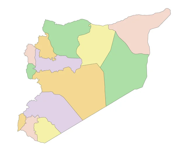
stock vector Syria - Highly detailed, editable political map.

Syria - Highly Detailed, Editable Political Map.

4835 × 4113
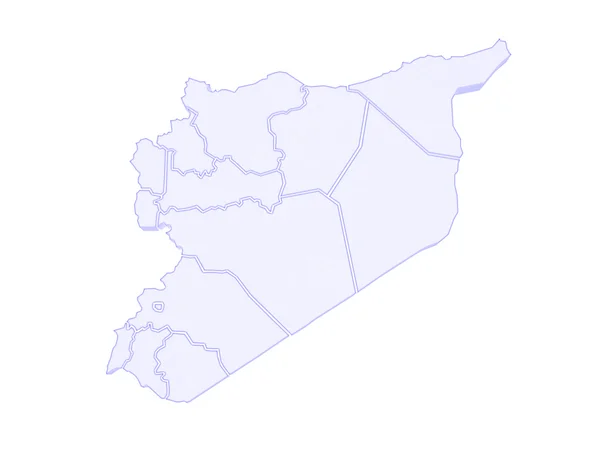
stock image Map of Syria

Map Of Syria

4800 × 3600
stock vector Black Location Map of the Syrian Governorate of Al-Suwayda within Grey Map of Syria

Black Location Map Of The Syrian Governorate Of Al-Suwayda Within Grey Map Of Syria

4800 × 3600
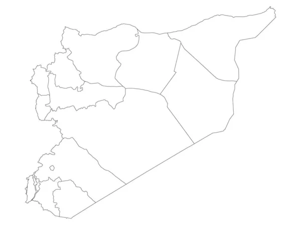
stock vector White Flat Governorates Map of the Middle Eastern Country of Syria

White Flat Governorates Map Of The Middle Eastern Country Of Syria

4800 × 3600
stock vector Black Location Map of the Syrian Governorate of Tartus within Grey Map of Syria

Black Location Map Of The Syrian Governorate Of Tartus Within Grey Map Of Syria

4800 × 3600
stock vector Syria governorates Map grey

Syria Governorates Map Grey

5414 × 5000
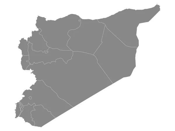
stock vector Grey Flat Governorates Map of the Middle Eastern Country of Syria

Grey Flat Governorates Map Of The Middle Eastern Country Of Syria

4800 × 3600
stock vector  Syria map Country icon

Syria Map Country Icon

4520 × 4520