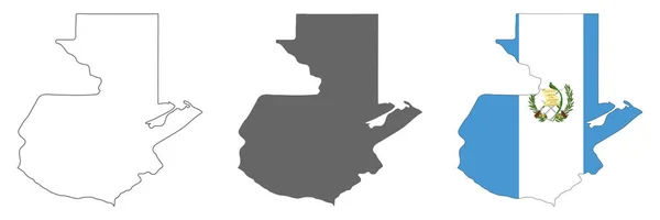
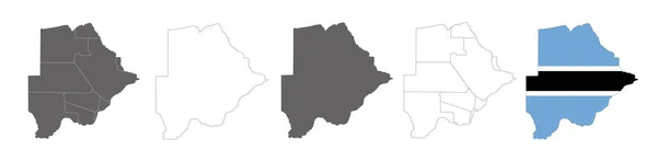
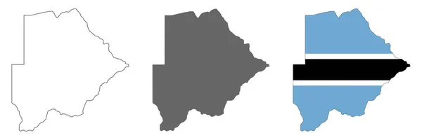
Stock vector Highly detailed Botswana map with borders isolated on background
Published: Oct.01, 2022 18:57:00
Author: Eugene_B-sov
Views: 1
Downloads: 0
File type: vector / eps
File size: 5.32 MB
Orginal size: 8000 x 2668 px
Available sizes:
Level: beginner