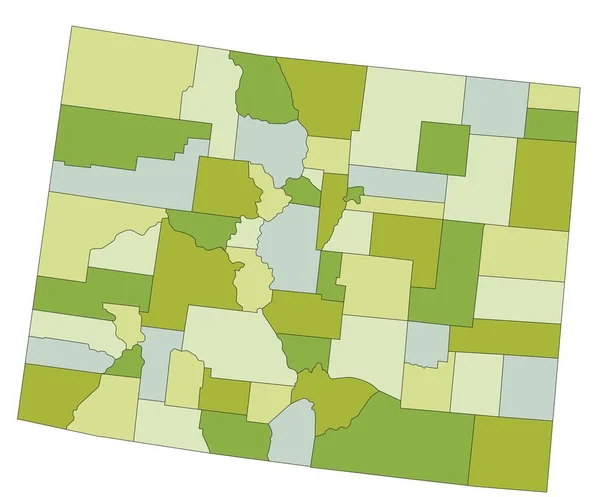
Stock vector Highly detailed editable political map with separated layers. Colorado.
Published: Apr.24, 2023 10:43:11
Author: delpieroo
Views: 0
Downloads: 0
File type: vector / eps
File size: 5.52 MB
Orginal size: 5957 x 4937 px
Available sizes:
Level: bronze