Home
Images
Vectors
Videos
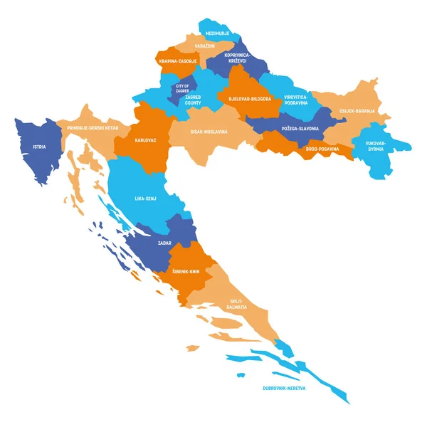
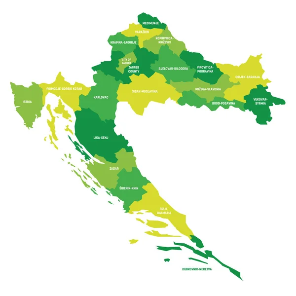
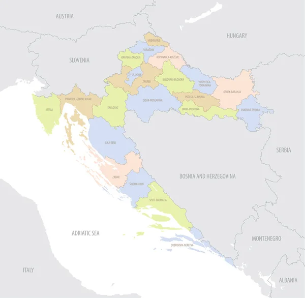
Stock vector Highly detailed editable political map with separated layers. Croatia.
Published:
Feb.02, 2022 08:57:45
Author:
delpieroo
Views:
2
Downloads:
0
File type:
vector
/
eps
File size:
5.69 MB
Orginal size:
5671
x
5285
px
Available sizes:
S
(500 x 466)
M
(1000 x 932)
L
(2000 x 1864)
XL
(5671 x 5285)
VECT
(5671 x 5285)
EL0
(5671 x 5285)
Level:
bronze
Download Vector
Vector topics:
Green
Vector
Background
Colored
Illustration
Shape
Label
Travel
European
Road
Pastel
City
Contour
Ocean
Capital
North
Europe
Olive
Shade
Outline
Country
Map
Cartography
Geography
Continent
Land
Split
Topography
Island
Political
Administrative
Atlantic
Politics
Geographic
Eu
Region
Lime
Croatia
Editable
Territory
Atlas
Dubrovnik
Mapping
Rivers
Balkan
Zagreb
Croatian
Zadar
Adriatic Sea
Similar stock vectors
Highly Detailed Editable Political Map With Separated Layers. Thailand.
2802 × 4552
Thailand - Highly Detailed Editable Political Map.
2802 × 4552
Croatia World Map Country Icon
4519 × 4520
Croatia - Map Of Counties
6000 × 6000
Croatia - Map Of Counties
6000 × 6000
Detailed Location Map Of Croatia In Europe With Administrative Divisions Of The Country, Vector Illustration
7087 × 6927
Croatia Map Silhouette White Icon
4521 × 4521
Croatia Road And Highway Map. Vector Illustration.
5671 × 5285