Home
Images
Vectors
Videos
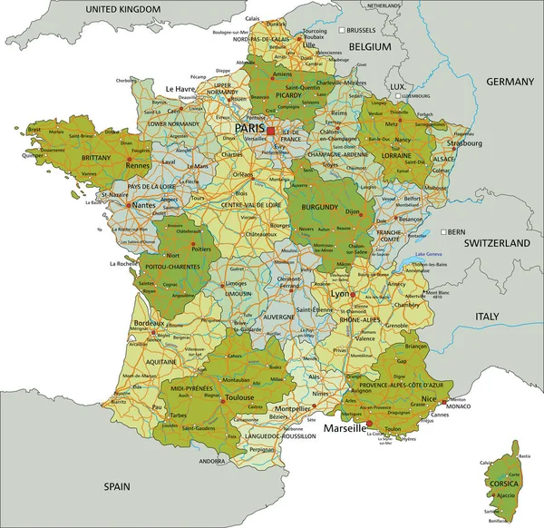
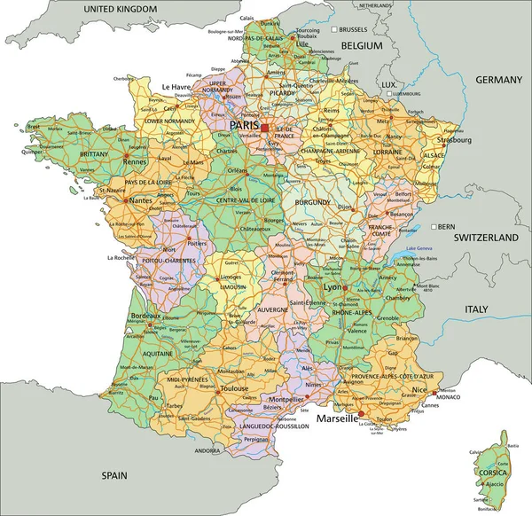
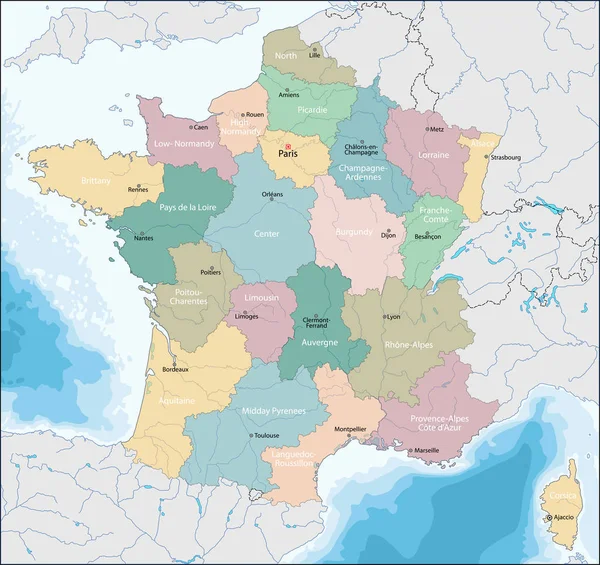
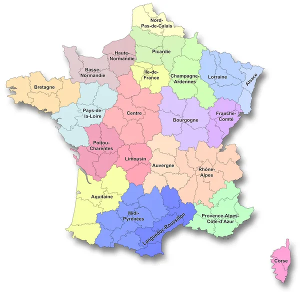
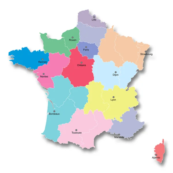
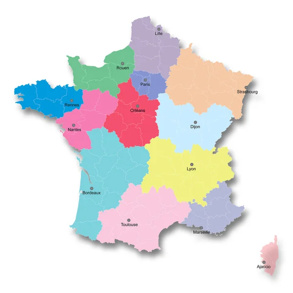
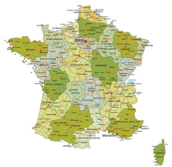
Stock vector Highly detailed editable political map with separated layers. France.
Published:
Feb.02, 2022 09:14:14
Author:
delpieroo
Views:
28
Downloads:
1
File type:
vector
/
eps
File size:
7.4 MB
Orginal size:
4787
x
4649
px
Available sizes:
S
(500 x 486)
M
(1000 x 971)
L
(2000 x 1942)
XL
(4787 x 4649)
VECT
(4787 x 4649)
EL0
(4787 x 4649)
Level:
bronze
Download Vector
Vector topics:
Green
Blue
Vector
Background
Colored
Illustration
Shape
Label
Travel
European
French
Road
Pastel
City
Contour
France
Ocean
Capital
Europe
Olive
Shade
Outline
Country
Map
Cartography
Geography
Continent
Land
Topography
Island
Political
Atlantic
Politics
Monaco
Geographic
Eu
Paris
Lime
Editable
Bordeaux
Territory
Burgundy
Atlas
Mapping
Rivers
Riviera
Marseille
Corsica
Lyon
Similar stock vectors
France - Highly Detailed Editable Political Map With Labeling.
4787 × 4649
Highly Detailed Editable Political Map With Separated Layers. France.
4791 × 4652
France - Highly Detailed Editable Political Map With Labeling.
4791 × 4652
Map Of French Republic
7001 × 6604
New Regions Of France
4108 × 4000
New French Territorial Reform
4000 × 4000
New French Territorial Reform
4000 × 4000
France Road, Administrative And Political Vector Map
3619 × 3525