Home
Images
Vectors
Videos
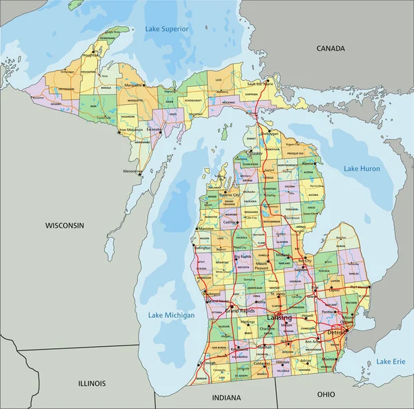
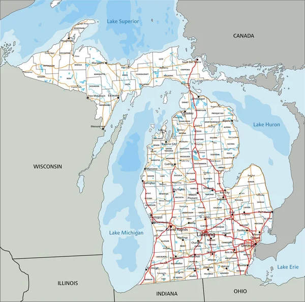
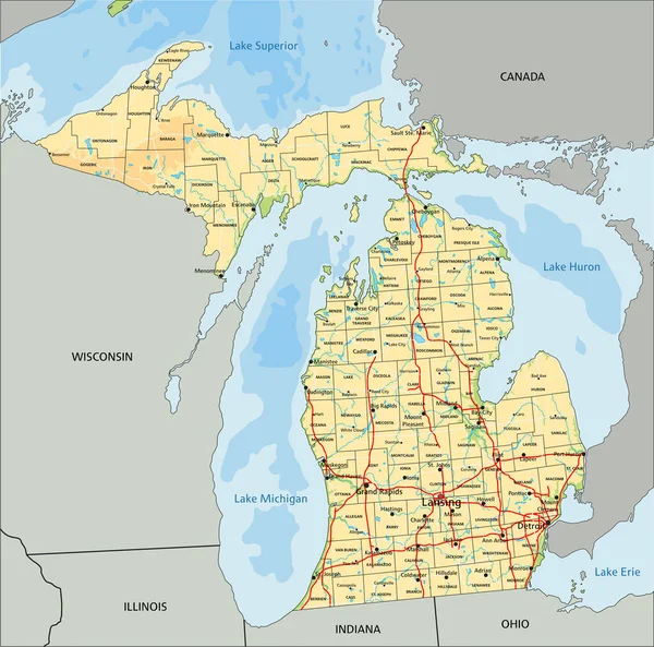
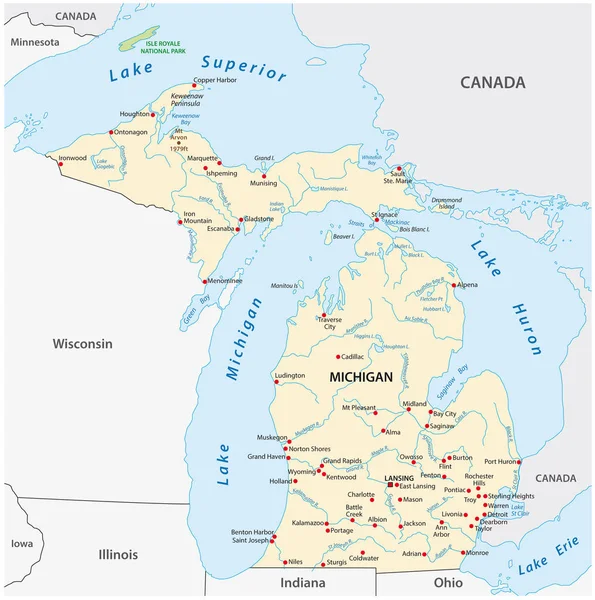
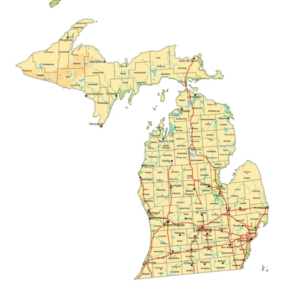
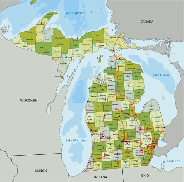
Stock vector Highly detailed editable political map with separated layers. Michigan.
Published:
Apr.26, 2023 07:32:37
Author:
delpieroo
Views:
3
Downloads:
1
File type:
vector
/
eps
File size:
8.76 MB
Orginal size:
5872
x
5807
px
Available sizes:
S
(500 x 494)
M
(1000 x 989)
L
(2000 x 1978)
XL
(5872 x 5807)
VECT
(5872 x 5807)
EL0
(5872 x 5807)
Level:
bronze
Download Vector
Vector topics:
Green
Vector
Background
Colored
Illustration
Label
Travel
Road
Pastel
City
Contour
American
Us
Usa
Ocean
Capital
North
Olive
Shade
Outline
Country
District
Map
Cartography
Geography
Continent
Land
State
Topography
Political
Administrative
Interstate
Atlantic
Politics
Geographic
Region
Lime
Editable
Mitten
Atlas
Peninsula
County
Mapping
Rivers
Michigan
Detroit
Lansing
United States Of America
Great Lakes
Grand Rapids
Similar stock vectors
Michigan - Highly Detailed Editable Political Map With Labeling.
5872 × 5807
High Detailed Michigan Road Map With Labeling.
5872 × 5807
High Detailed Michigan Physical Map With Labeling.
5872 × 5807
Vector Map Of The U.S. State Of Michigan
3100 × 3121
Highly Detailed Editable Political Map With Separated Layers. Wisconsin.
4165 × 4645
Wisconsin - Highly Detailed Editable Political Map With Labeling.
4165 × 4645
Lake Michigan Map
2245 × 3468
High Detailed Michigan Physical Map With Labeling.
5875 × 5808