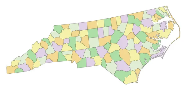
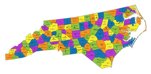
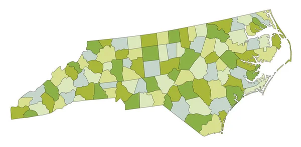
Stock vector Highly detailed editable political map with separated layers. North Carolina.
Published: May.03, 2023 06:50:36
Author: delpieroo
Views: 0
Downloads: 0
File type: vector / eps
File size: 6.47 MB
Orginal size: 7313 x 3584 px
Available sizes:
Level: bronze