photo free
Home Images Vectors Videos

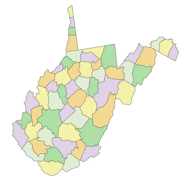
Stock vector Highly detailed editable political map with separated layers. West Virginia.
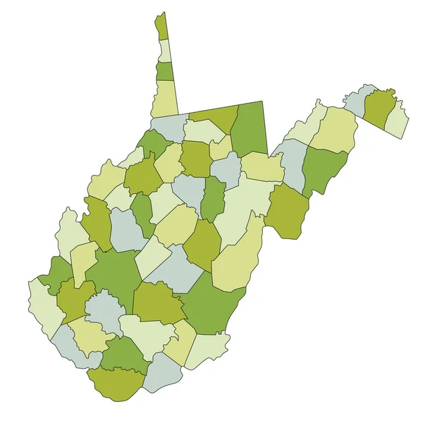
Stock vector Highly detailed editable political map with separated layers. West Virginia.
Published: May.05, 2023 06:06:11
Author: delpieroo
Views: 0
Downloads: 0
File type: vector / eps
File size: 5.85 MB
Orginal size: 3373 x 3359 px
Available sizes:
S
(500 x 498)
M
(1000 x 996)
L
(2000 x 1992)
XL
(3373 x 3359)
VECT
(3373 x 3359)
EL0
(3373 x 3359)
Level: bronze
Download Vector
Vector topics:

Similar stock vectors

stock vector West Virginia - Highly detailed editable political map with labeling.

West Virginia - Highly Detailed Editable Political Map With Labeling.

3373 × 3359
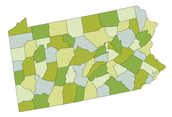
stock vector Highly detailed editable political map with separated layers. Pennsylvania.

Highly Detailed Editable Political Map With Separated Layers. Pennsylvania.

4219 × 2886
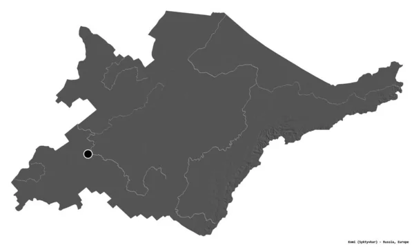
stock image Shape of Komi, republic of Russia, with its capital isolated on white background. Bilevel elevation map. 3D rendering

Shape Of Komi, Republic Of Russia, With Its Capital Isolated On White Background. Bilevel Elevation Map. 3D Rendering

3836 × 2301
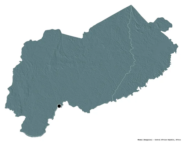
stock image Shape of Mbomou, prefecture of Central African Republic, with its capital isolated on white background. Colored elevation map. 3D rendering

Shape Of Mbomou, Prefecture Of Central African Republic, With Its Capital Isolated On White Background. Colored Elevation Map. 3D Rendering

3836 × 2987
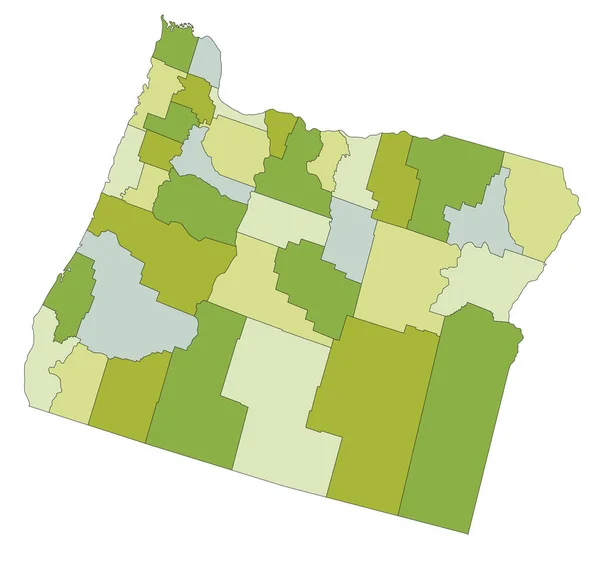
stock vector Highly detailed editable political map with separated layers. Oregon.

Highly Detailed Editable Political Map With Separated Layers. Oregon.

5093 × 4825
stock image Shape of Mbomou, prefecture of Central African Republic, with its capital isolated on white background. Bilevel elevation map. 3D rendering

Shape Of Mbomou, Prefecture Of Central African Republic, With Its Capital Isolated On White Background. Bilevel Elevation Map. 3D Rendering

3836 × 2987
stock vector Eirunepe municipality (Amazonas state, Municipalities of Brazil, Federative Republic of Brazil) map vector illustration, scribble sketch Eirunepe map

Eirunepe Municipality (Amazonas State, Municipalities Of Brazil, Federative Republic Of Brazil) Map Vector Illustration, Scribble Sketch Eirunepe Map

7087 × 4726
stock vector Catolandia municipality (Bahia state, Municipalities of Brazil, Federative Republic of Brazil) map vector illustration, scribble sketch Catolandia map

Catolandia Municipality (Bahia State, Municipalities Of Brazil, Federative Republic Of Brazil) Map Vector Illustration, Scribble Sketch Catolandia Map

7087 × 4726