photo free
Home Images Vectors Videos

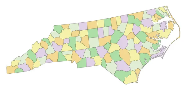
Stock vector Highly Detailed North Carolina Blind Map.
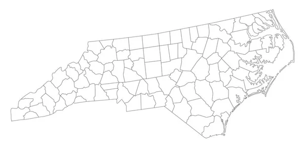
Stock vector Highly Detailed North Carolina Blind Map.
Published: May.03, 2023 06:50:36
Author: delpieroo
Views: 0
Downloads: 0
File type: vector / eps
File size: 6.46 MB
Orginal size: 7313 x 3584 px
Available sizes:
S
(500 x 245)
M
(1000 x 490)
L
(2000 x 980)
XL
(7313 x 3584)
VECT
(7313 x 3584)
EL0
(7313 x 3584)
Level: bronze
Download Vector
Vector topics:

Similar stock vectors

stock vector White blank vector administrative map of the Federal State of North Carolina, USA with black borders of its counties

White Blank Vector Administrative Map Of The Federal State Of North Carolina, USA With Black Borders Of Its Counties

8005 × 3038
stock image Polygonal Network Mesh High Resolution Raster Map of North Carolina State Abstractions

Polygonal Network Mesh High Resolution Raster Map Of North Carolina State Abstractions

6923 × 3000
stock vector Highly Detailed Virginia Blind Map.

Highly Detailed Virginia Blind Map.

5546 × 3310
stock vector Blank Maryland State vector map silhouette illustration isolated on white background. High detailed illustration. United state of America Empty country. Maryland map with county borders.

Blank Maryland State Vector Map Silhouette Illustration Isolated On White Background. High Detailed Illustration. United State Of America Empty Country. Maryland Map With County Borders.

5883 × 4031
stock vector Highly Detailed South Carolina Blind Map.

Highly Detailed South Carolina Blind Map.

4083 × 3511
stock vector White Outline Counties Map of US State of Virginia

White Outline Counties Map Of US State Of Virginia

4800 × 3600
stock vector Maryland MD State Border USA Map Outline

Maryland MD State Border USA Map Outline

8334 × 8334
stock vector North Carolina - Highly detailed editable political map.

North Carolina - Highly Detailed Editable Political Map.

7313 × 3584