Home
Images
Vectors
Videos
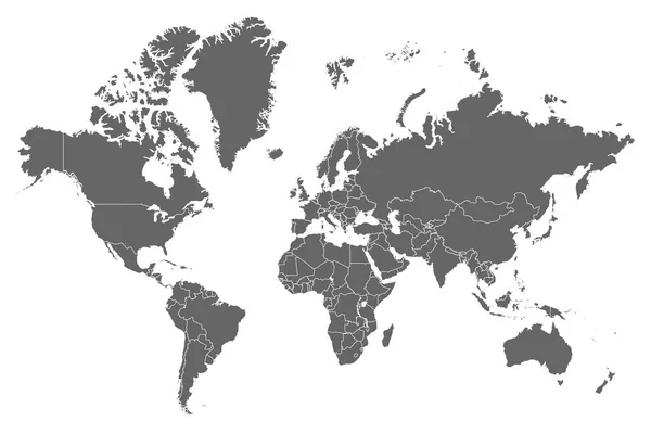
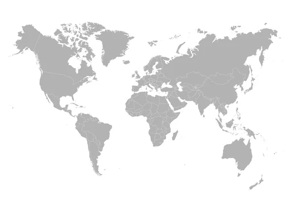
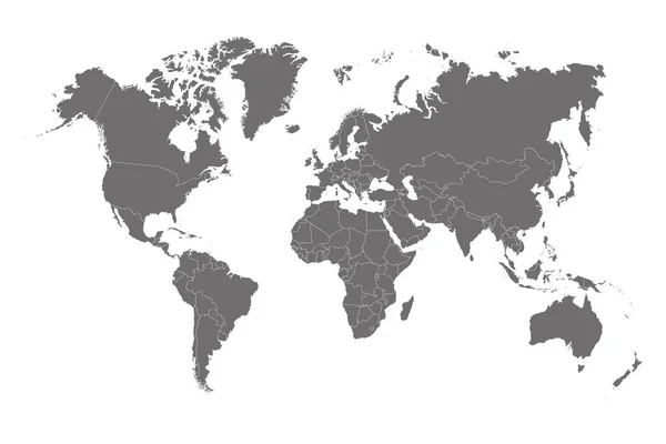
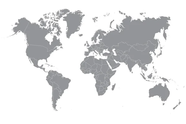
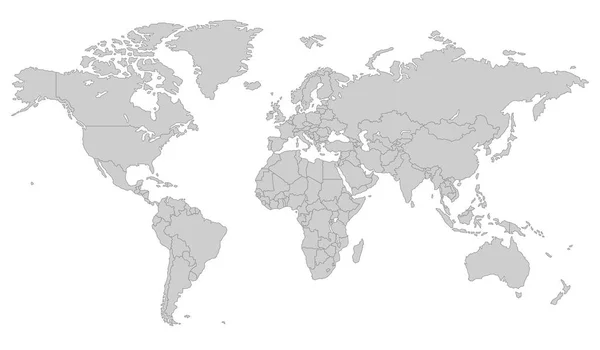
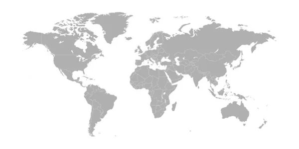
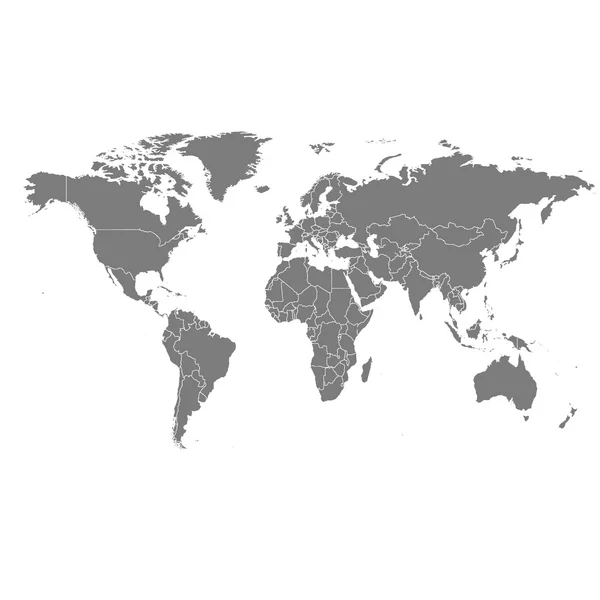
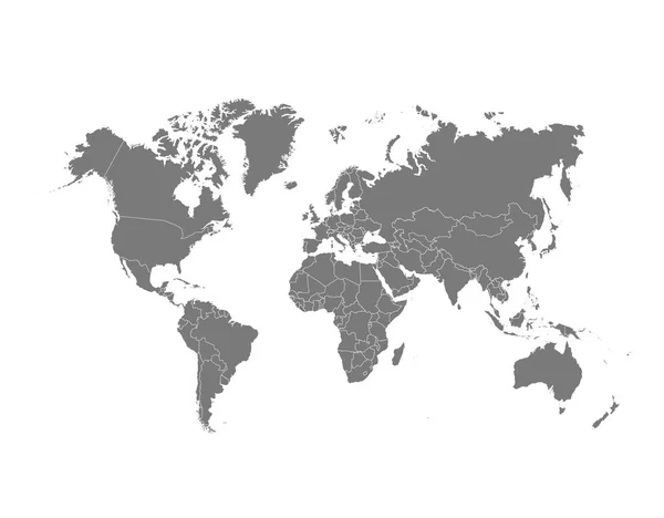
Stock vector Highly detailed political map of the world with borders countries
Published:
Sep.17, 2020 13:40:04
Author:
Eugene_B-sov
Views:
17
Downloads:
2
File type:
vector
/
eps
File size:
12.35 MB
Orginal size:
6000
x
4000
px
Available sizes:
S
(500 x 333)
M
(1000 x 667)
L
(2000 x 1333)
XL
(6000 x 4000)
VECT
(6000 x 4000)
EL0
(6000 x 4000)
Level:
beginner
Download Vector
Vector topics:
White
Generated
Silhouette
Border
City
Global
Physical
Contour
Information
Education
Earth
Planet
World
Usa
Ocean
Surface
Science
Detailed
Capital
China
Outline
Discovery
Country
Map
Cartography
Geography
Pacific
Africa
Continent
Worldwide
Tourist
Arizona
Japan
Topography
America
International
Australia
Political
Canada
Nations
Navigational
Editable
Oceania
Complete
Mexico
Atlas
Carolina
Infographic
World Map
Similar stock vectors
High Resolution Grey Map Of The World Split Into Individual Countries. High Detail World Map
12500 × 8334
Grey World Map On White Background. High Detail Blank Political. Vector Illustration
6000 × 4485
World Map On White Background. World Map Template With Continents, North And South America, Europe And Asia, Africa And Australia. Vector Illustration
12491 × 8337
Gray Political World Map On A White Background
6250 × 4167
Grey Vector World Map
7087 × 4135
World Map Vector Abstract Illustration
8334 × 4167
Vector Map Of The World.
5000 × 5000
Political World Map Vector Illustration.
5122 × 4000