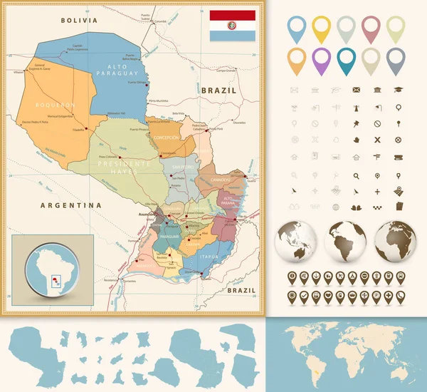
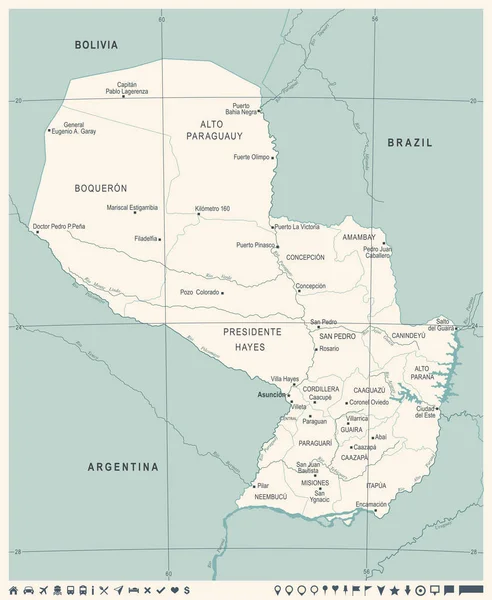
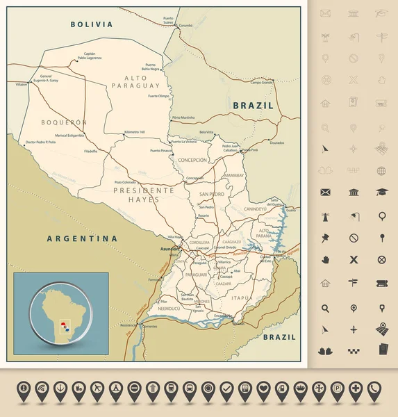
Stock vector Highly detailed road map of Paraguay with roads, railroads and w
Published: Mar.16, 2023 15:07:12
Author: Livenart
Views: 201
Downloads: 2
File type: vector / eps
File size: 6.66 MB
Orginal size: 7833 x 8192 px
Available sizes:
Level: bronze