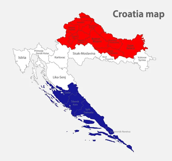
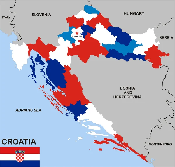
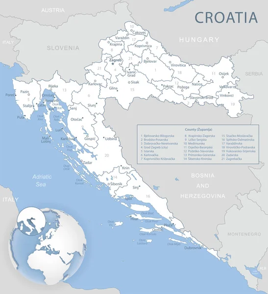
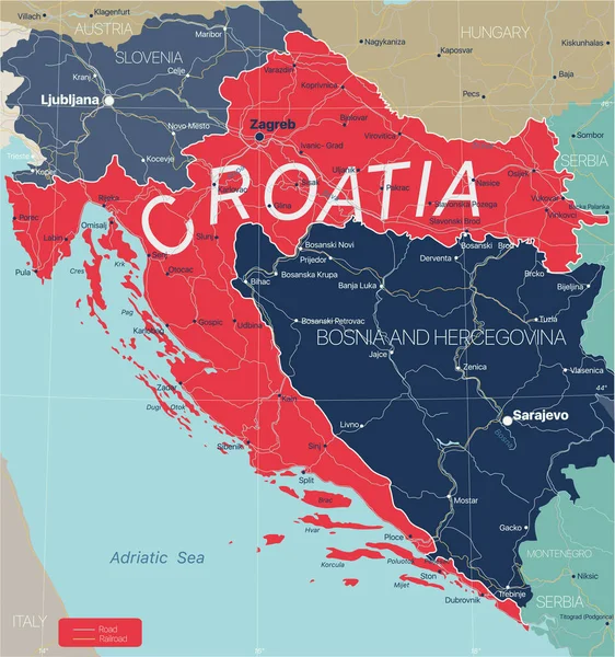
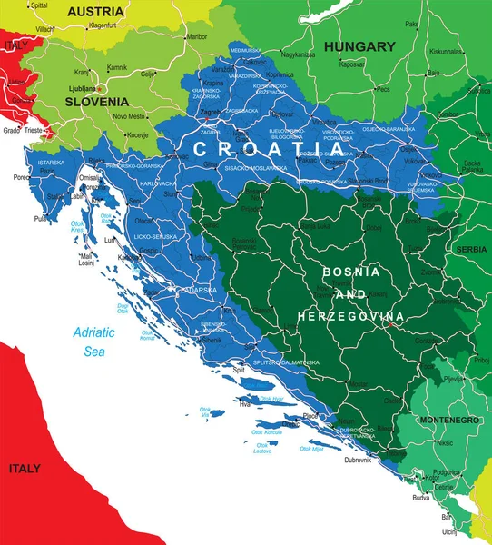
Stock vector Highly detailed vector map of Croatia with administrative regions,main cities and roads.
Published: Jun.30, 2020 08:37:51
Author: BogdanSerban
Views: 9
Downloads: 0
File type: vector / eps
File size: 2.18 MB
Orginal size: 4522 x 5000 px
Available sizes:
Level: beginner
Similar stock vectors
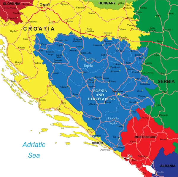
Highly Detailed Vector Map Of Bosnia & Herzegovina With Administrative Regions, Main Cities And Roads.
5000 × 4991
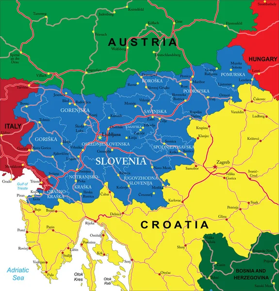
Highly Detailed Vector Map Of Slovenia With Administrative Regions, Main Cities And Roads.
4797 × 5000