photo free
Home Images Vectors Videos

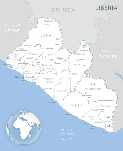
Stock vector Highly detailed vector map of Liberia with administrative regions, main cities and roads.

Stock vector Highly detailed vector map of Liberia with administrative regions, main cities and roads.
Published: Jul.06, 2020 09:00:58
Author: BogdanSerban
Views: 1
Downloads: 0
File type: vector / eps
File size: 1.91 MB
Orginal size: 4079 x 5000 px
Available sizes:
S
(408 x 500)
M
(816 x 1000)
L
(1632 x 2000)
XL
(4079 x 5000)
VECT
(4079 x 5000)
EL0
(4079 x 5000)
Level: beginner
Download Vector
Vector topics:

Similar stock vectors

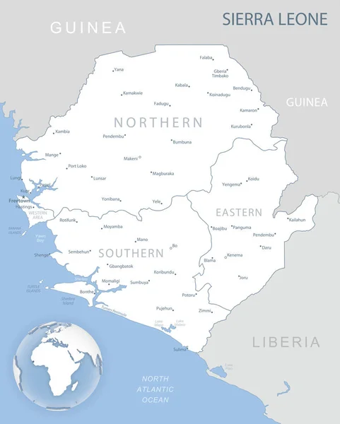
stock vector Blue-gray detailed map of Sierra Leone administrative divisions and location on the globe. Vector illustration

Blue-gray Detailed Map Of Sierra Leone Administrative Divisions And Location On The Globe. Vector Illustration

5247 × 6540
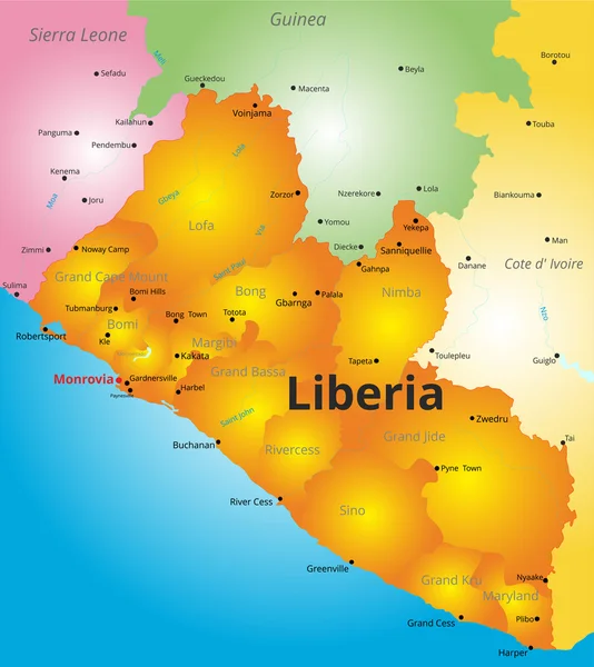
stock vector color map of Liberia country

Color Map Of Liberia Country

5539 × 6217
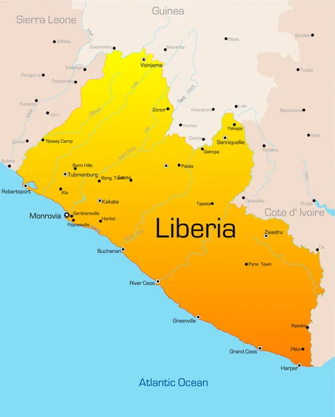
stock image Abstract vector color map of Liberia country

Abstract Vector Color Map Of Liberia Country

2757 × 3429
stock vector Blue-green detailed map of Sierra Leone administrative divisions with country flag and location on the globe. Vector illustration

Blue-green Detailed Map Of Sierra Leone Administrative Divisions With Country Flag And Location On The Globe. Vector Illustration

5247 × 6540
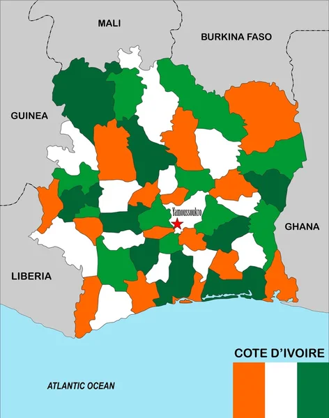
stock image Cote d'ivoire map

Cote D'ivoire Map

4123 × 5242
stock image guinea map

Guinea Map

5249 × 4092
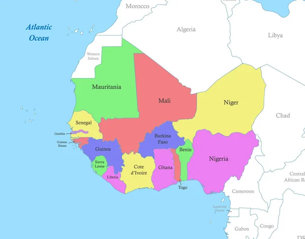
stock vector Political color map of Western Africa with borders of the states.

Political Color Map Of Western Africa With Borders Of The States.

5091 × 4000
stock vector Blue-gray detailed map of Liberia administrative divisions and location on the globe. Vector illustration

Blue-gray Detailed Map Of Liberia Administrative Divisions And Location On The Globe. Vector Illustration

5228 × 6438