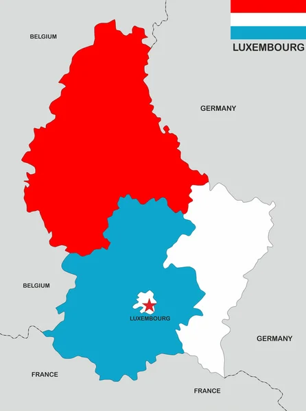
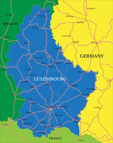
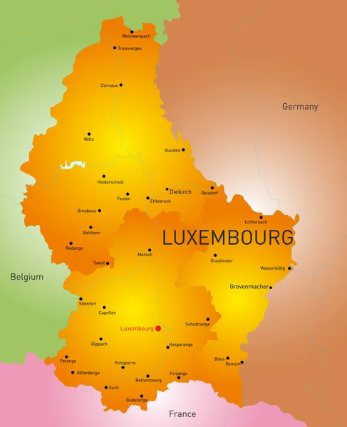
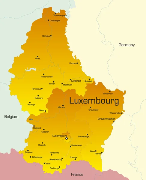
Stock vector Highly detailed vector map of Luxembourg with administrative regions, main cities and roads.
Published: Jun.30, 2020 08:38:28
Author: BogdanSerban
Views: 6
Downloads: 0
File type: vector / eps
File size: 1.36 MB
Orginal size: 3972 x 5000 px
Available sizes:
Level: beginner
Similar stock vectors

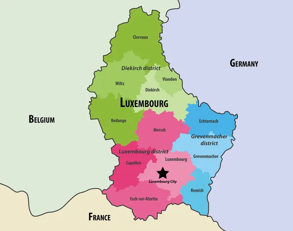
Map Of Luxembourg Cantons Colored By Districts, With Neighbouring Countries. Vector Illustration
8333 × 6576