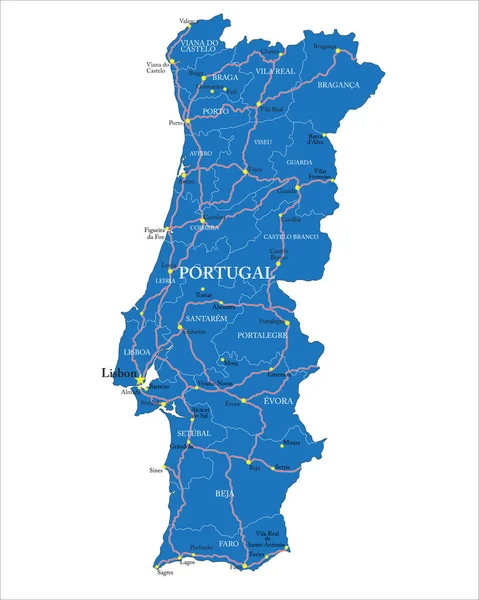
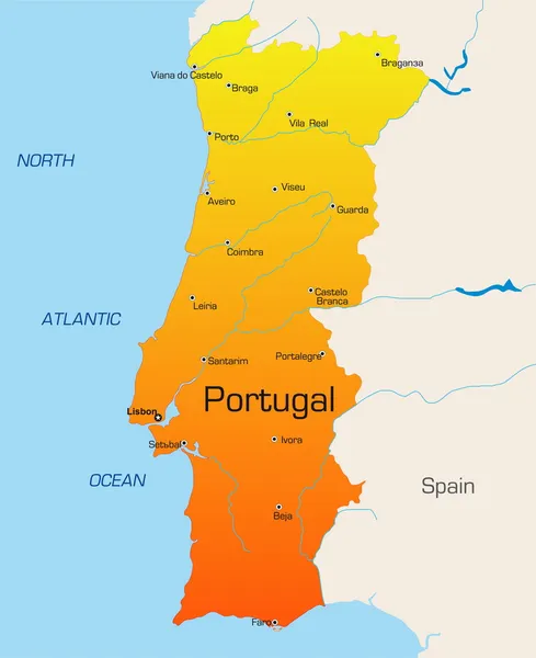
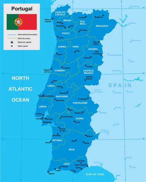
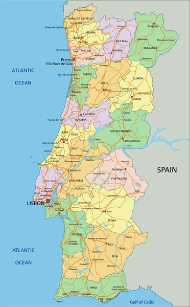
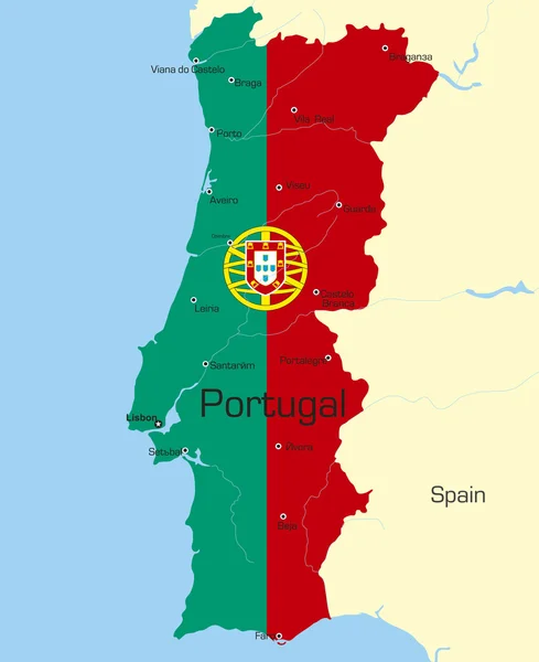
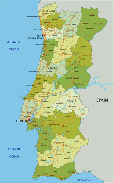
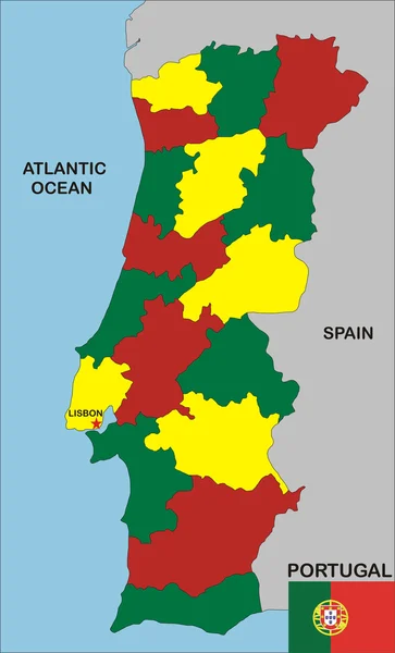
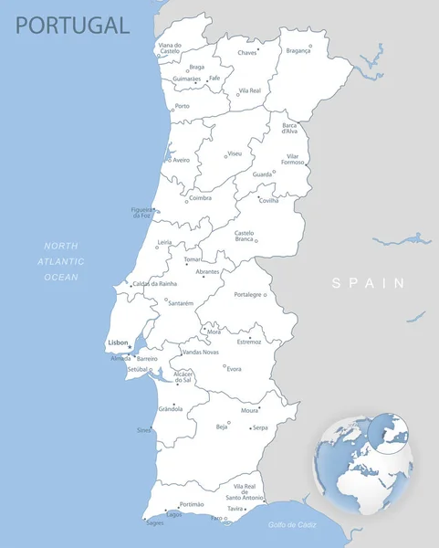
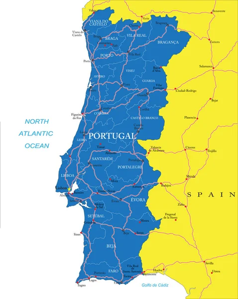
Stock vector Highly detailed vector map of Portugal with administrative regions, main cities and roads.
Published: Jun.30, 2020 08:38:29
Author: BogdanSerban
Views: 11
Downloads: 0
File type: vector / eps
File size: 1.76 MB
Orginal size: 3982 x 5000 px
Available sizes:
Level: beginner