Home
Images
Vectors
Videos
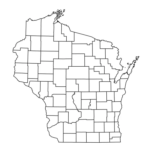
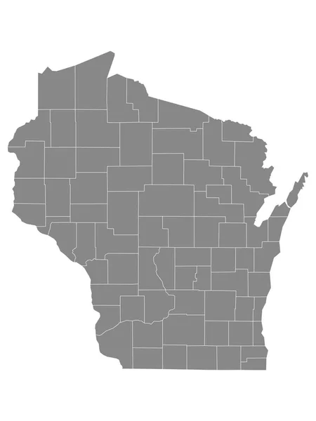
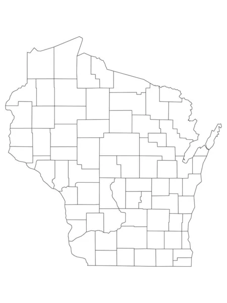
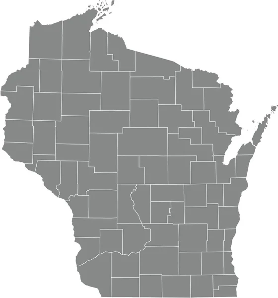
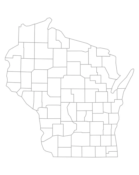
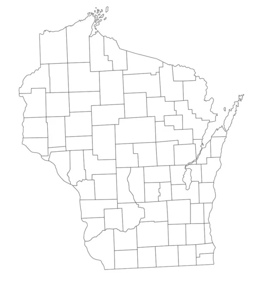
Stock vector Highly Detailed Wisconsin Blind Map.
Published:
May.05, 2023 06:11:54
Author:
delpieroo
Views:
0
Downloads:
3
File type:
vector
/
eps
File size:
5.65 MB
Orginal size:
4168
x
4646
px
Available sizes:
S
(449 x 500)
M
(897 x 1000)
L
(1794 x 2000)
XL
(4168 x 4646)
VECT
(4168 x 4646)
EL0
(4168 x 4646)
Level:
bronze
Download Vector
Vector topics:
White
Vector
Background
Graphic
Illustration
Isolated
Shape
Art
Travel
Abstract
Texture
Cut
Silhouette
Border
Symbol
Concept
Icon
School
Test
Contour
World
American
Us
Usa
Detailed
North
Outline
Country
District
Map
Cartography
Geography
National
State
Chart
America
Political
Interstate
United
States
Blind
Nation
County
Wisconsin
Madison
Milwaukee
Lake Michigan
United States Of America
Lake Superior
Dairyland
Similar stock vectors
Wisconsin State Map With Counties. Vector Illustration.
8334 × 8334
Gray Outline Counties Map Of US State Of Wisconsin
3600 × 4800
Outline Map Of Wisconsin White Background. USA State, Vector Map With Contour.
4000 × 4000
White Outline Counties Map Of US State Of Wisconsin
3600 × 4800
White Blank Vector Administrative Map Of The Federal State Of Wisconsin, USA With Black Borders Of Its Counties
4754 × 5094
High Quality Map State Of United States
4000 × 4000
Gray Vector Administrative Map Of The Federal State Of Wisconsin, USA With White Borders Of Its Counties
4751 × 5090
Accurate Map Of Wisconsin
4000 × 5000