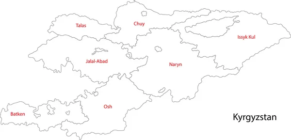
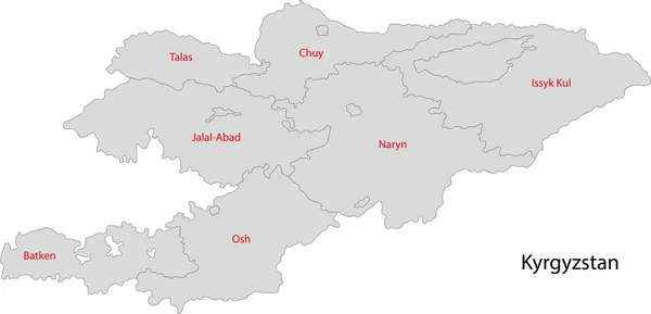
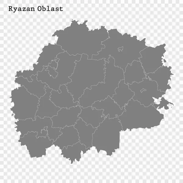
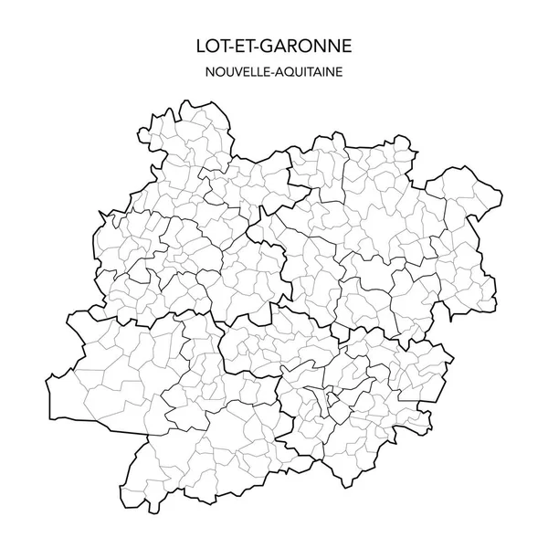
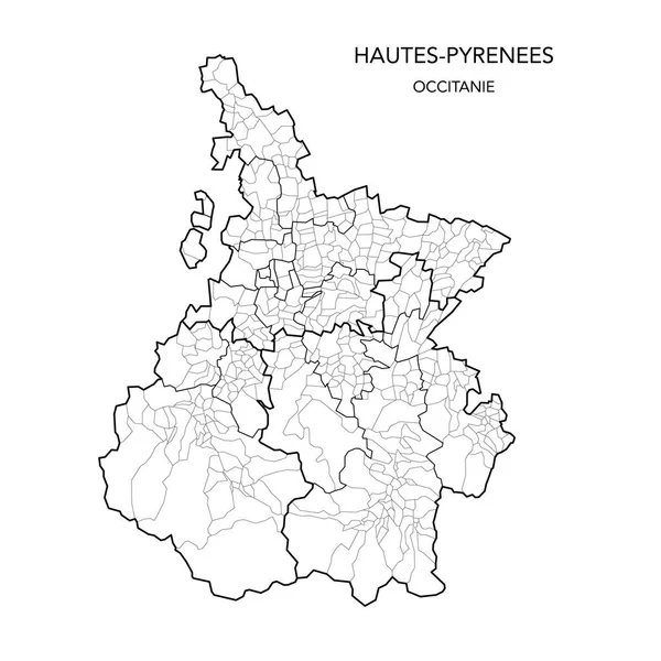
Stock vector Hungary map, black and white detailed outline regions of the country.

Published: Jun.09, 2020 07:11:46
Author: gt29
Views: 161
Downloads: 3
File type: vector / eps
File size: 1.51 MB
Orginal size: 8050 x 5588 px
Available sizes:
Level: bronze