Home
Images
Vectors
Videos
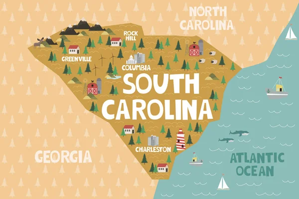
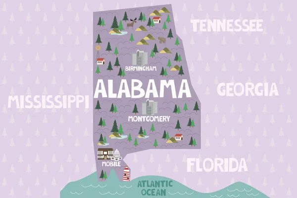
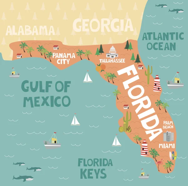
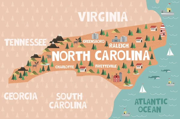
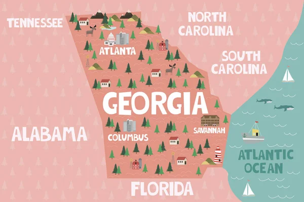
Stock vector Illustrated map of the state of Georgia in United States with cities and landmarks. Editable vector illustration
Published:
Aug.02, 2018 07:39:36
Author:
MioBuono12
Views:
365
Downloads:
8
File type:
vector
/
eps
File size:
1.39 MB
Orginal size:
3000
x
1997
px
Available sizes:
S
(500 x 333)
M
(1000 x 666)
L
(2000 x 1331)
XL
(3000 x 1997)
VECT
(3000 x 1997)
EL0
(3000 x 1997)
Level:
bronze
Download Vector
Vector topics:
Graphic
Isolated
Art
Travel
Nature
Abstract
Plant
Animal
Mountain
Sea
Border
Modern
Landscape
Symbol
Icon
City
Farm
Forest
Flat
Earth
World
Build
Detailed
Landmark
Capital
Ship
Country
Map
Cartography
Geography
Lake
Tourist
Port
Ranch
Lighthouse
America
Atlantic
Georgia
Savannah
Printable
Atlanta
National Park
United States
Native America
Similar stock vectors
Illustrated Map Of The State Of South Carolina In United States With Cities And Landmarks. Editable Vector Illustration
3000 × 1997
Illustrated Map Of The State Of Alabama In United States With Cities And Landmarks. Editable Vector Illustration
3000 × 1997
Illustrated Map Of The State Of Florida In United States
3000 × 2978
Florida Sunshine State Lettering With Map
7973 × 7973
Illustrated Map Of The State Of North Carolina In United States With Cities And Landmarks. Editable Vector Illustration
3000 × 1997
Illustrated Map Of The State Of Tennessee In United States With Cities And Landmarks. Editable Vector Illustration
3000 × 1997
Illustrated Map Of The State Of Mississippi In United States With Cities And Landmarks. Editable Vector Illustration
3000 × 1997
Illustrated Map Of The State Of Virginia In United States With Cities And Landmarks. Editable Vector Illustration
3000 × 1997